Las Vegas is a popular destination for entertainment, fine dining, luxury travel experiences and gambling. If you’re like me, after a day or two, I’m ready to be outdoors. That’s where plans for a road trip from Las Vegas come in handy.
While you could road trip to Death Valley National Park or national parks like Zion or the Grand Canyon, Debi Lander (ByLanderSea) says you don’t have to go that far from Las Vegas to find outdoor adventure.
Follow Debi’s two-day Las Vegas road trip itinerary for a nature break that escapes the glitz and high energy of the Strip.
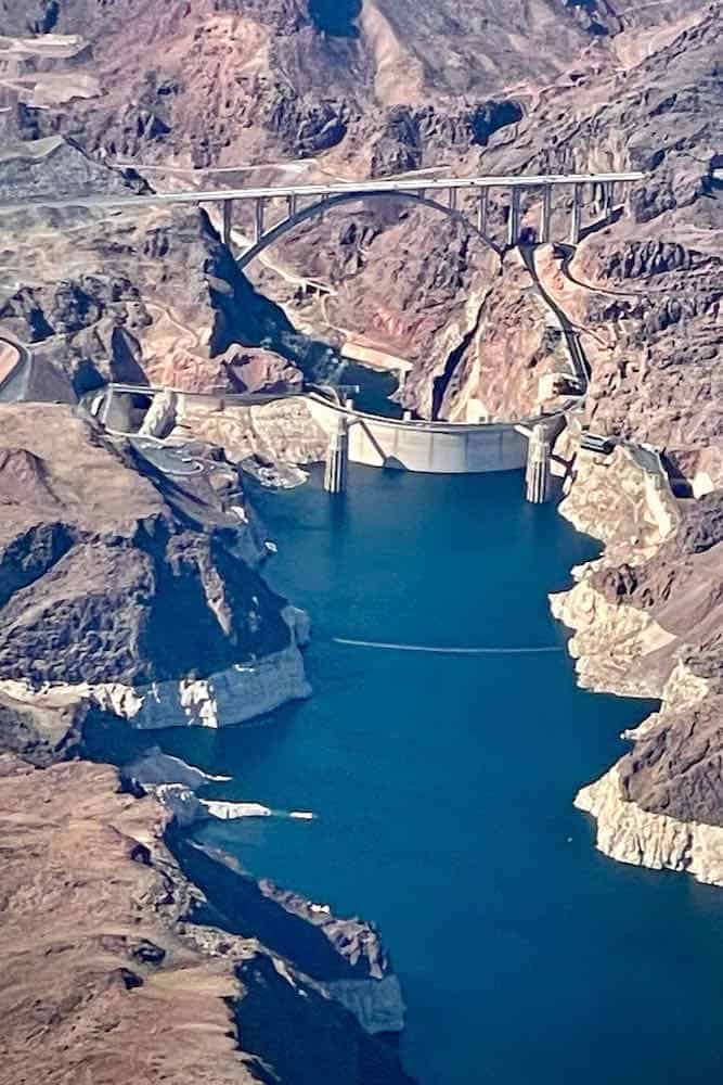
When I looked out the window as my flight neared Las Vegas, I got a surprise—an aerial view of the Hoover Dam. I quickly grabbed my iPhone and took a photo. The impressive sight of this American icon filled me with wonder.
Once I met up with my travel buddy, Ellen, we picked up the rental car and drove to our hotel near the Hoover Dam for the start of our 2-day road trip from Las Vegas. The ride takes just a little over 30 minutes and passes through Boulder City, a town built in the 1930s for construction workers who worked on the dam.
The Hoover Dam Lodge, as you might expect, is not only ideally located for touring the Dam, but it overlooks scenic Lake Mead. Plus, it offers numerous restaurants and casino games without stepping out of the hotel.
Table of Contents
The 2-day road trip from Las Vegas begins at Hoover Dam
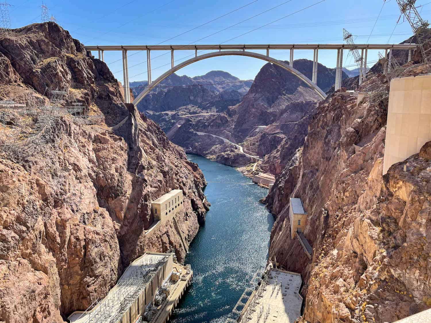
During our visit, Hoover Dam Visitor Center (website here) was still closed because of the pandemic, as were tours inside the tunnels, but that didn’t stop us. Checking out this U.S. National Monument doesn’t require more than a half-day (even including a tunnel tour) and much less if you are in a hurry.
Ellen and I walked down the promenade toward Hoover Dam, reading the signage, and photographing as we went along. The Dam was built between 1930-1936 in a wasteland of a forbiddingly dry, rocky desert.
The dam’s goal was to help control flooding on the Colorado River and to divert water where needed. Most importantly, the Hoover Dam would provide hydroelectric power to millions of nearby residents.
As the 6.6 million yards of concrete were poured, 96 workers lost their lives in accidents, but no one was buried alive. The project required working in sweltering heat to bore into carbon monoxide-choked tunnels and dangling from heights of 800 feet to clear canyon walls.
Over the years, some 21,000 workers contributed to the overall construction.
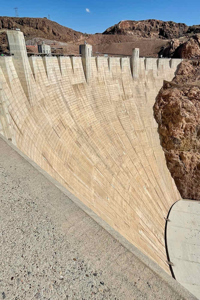
The sight of the complex staggered my mind. Everything about the place feels supersized. I glanced up at tilted transmission towers supported by massive braces and down at the immense, rounded curtain of concrete.
The dam measures 726 feet tall and 1,244 feet long, almost a quarter of a mile. According to some online research, “At its base, the Dam is a whopping 660 feet thick, about two football fields stretched end-to-end. At its top, Hoover Dam is 45 feet thick.” That may seem thin compared to its massive base, but it’s still nearly as wide as a four-lane highway.”
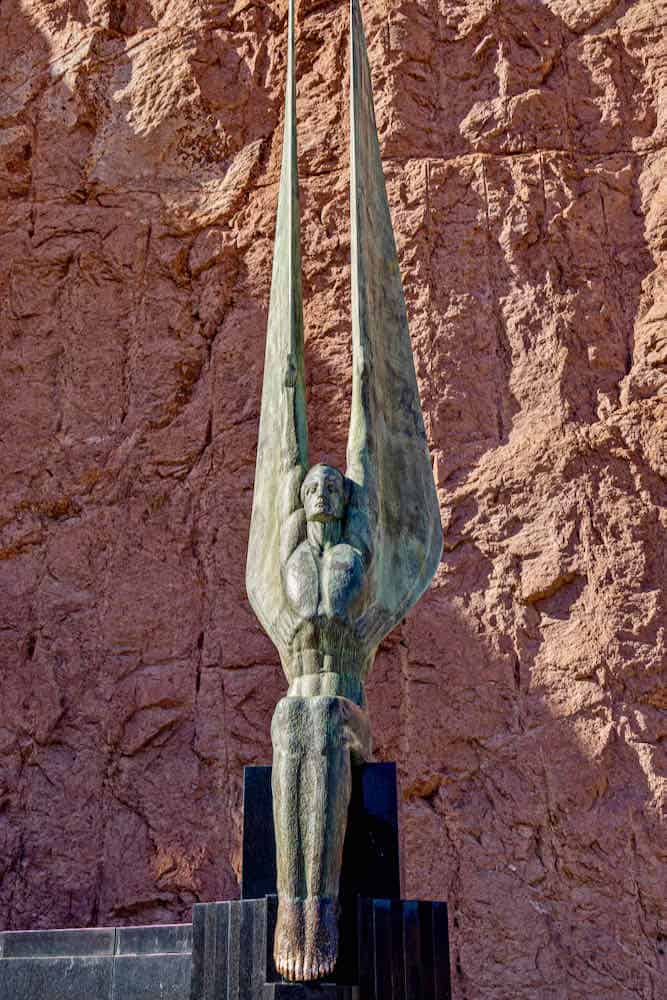
All visitors spot the 30-foot high Art Deco statues, known as the “Winged Figures of the Republic.” The pair resemble seated humans with sharp, angular features and wings that soar straight toward the sky.
Sculptor Oskar Hansen created them with more than four tons of statuary bronze. The two are now weathered with a green patina, except where visitors follow the tradition of rubbing their feet for good luck.
A terrazzo floor with a celestial chart surrounds the monument area. The base marks the position of key stars on the day the Hoover Dam was dedicated by President Franklin Roosevelt, September 30, 1935.
The water backed up by the Dam created Lake Mead, one of the largest artificial lakes in the world. As the water reaches the block, it falls 500 feet through pipes to a hydroelectric power plant at the base. The water turns 17 hydraulic turbines, which then rotate a series of electric generators.
The engineering miracle produces a power capacity of 2,080 megawatts. Nearly half of the generated electric power goes to Los Angeles and Southern California; the rest goes to Nevada and Arizona.
Previously, Highway 93 traversed the Dam’s crest, but that is no longer the case. Visitors now exit Highway 93 at Nevada State Route 172 to reach Hoover Dam. If you are traveling from the Arizona side, you can still cross the dam on the roadway to access Arizona viewpoints, but you must retrace your tire tracks to continue on Highway 93 into Nevada.
After September 11, 2001, severe security restrictions were imposed. Therefore, a new concrete arch bridge with a 1,060-foot span. It’s the longest in North America for that type of bridge
The Mike O’Callaghan-Pat Tillman Memorial Bridge honors a former governor and community leader (O’Callagahan). It also honors professional football player turned Afghanistan war hero (Tillman).
I climbed the stairs as I ascended Memorial Bridge, reading plaques and, to be honest, catching my breath. While taking photos, I was reminded of a chase scene from one of my favorite movies, The Fugitive, but, in fact, the movie wasn’t filmed here.
Boomer Travel Tip
Use our road trip planner to make the most of your next road trip adventure.
Las Vegas road trip Day One: A national recreation area, museum and a state park
Lake Mead Visitor Center (website here) was located nearby our hotel and was our first stop on the first, full day of this Las Vegas road trip. The dramatic views contrast the difference between the water and the dry land.
The center offers maps and guides, and the staff helped direct us to the scenic drive to Valley of Fire. The other choice means driving on a boring major highway.
Lake Mead National Recreation Area
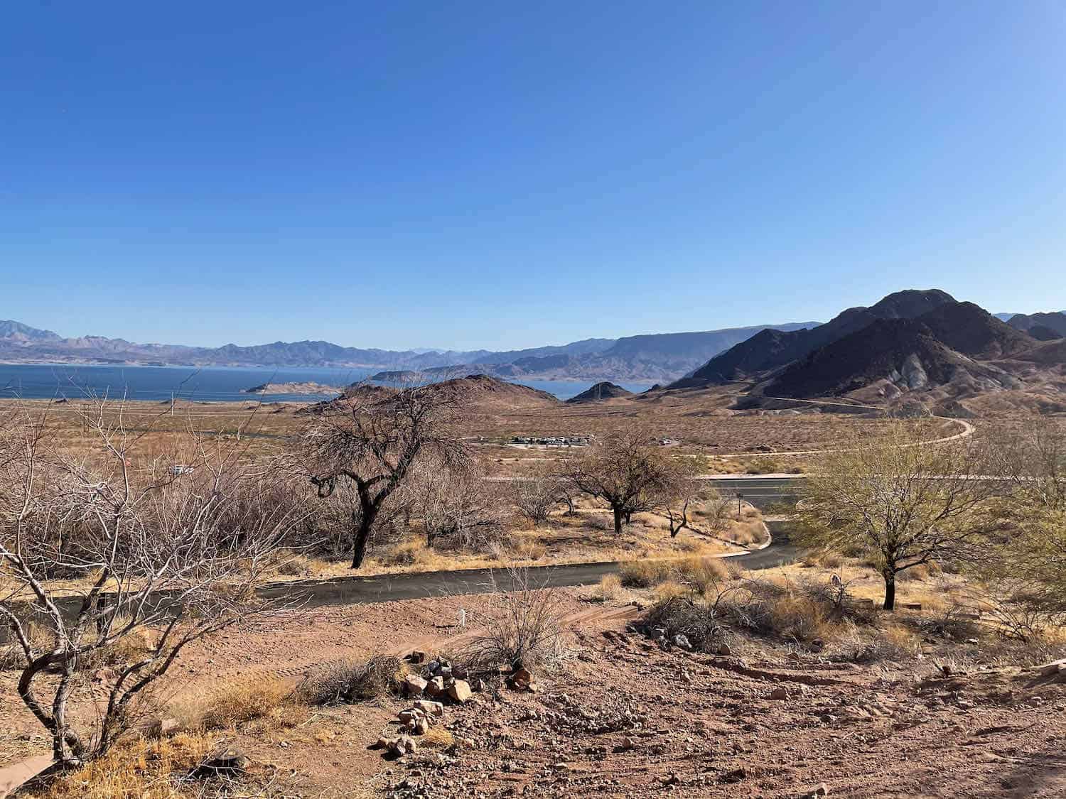
PIcking up the Northshore Road below the Visitor Center, toward the lake, the road leads directly to Valley of Fire, about a 50-mile drive. Traffic ran sparse perhaps because it is a toll road — but it’s free with National Park pass. (Once again, that senior pass is the best bargain ever.)
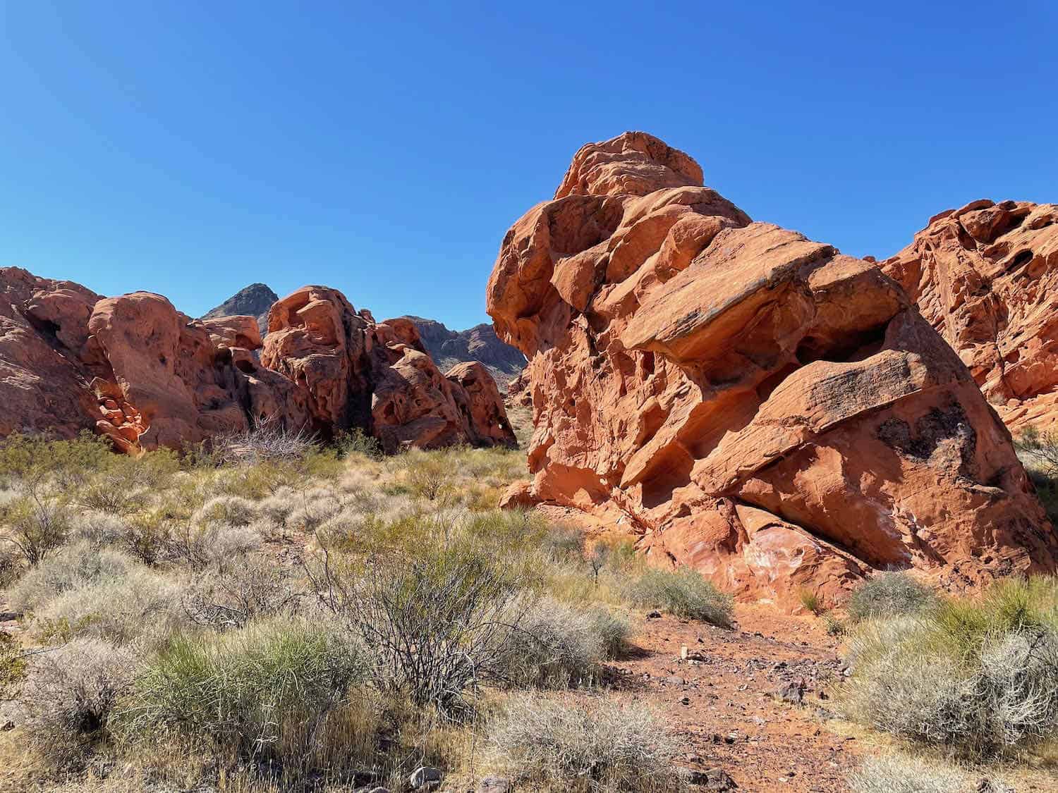
The drive along Northshore Road teases with glimpses of the bold red rocks in Valley of Fire State Park. We couldn’t resist stopping for several photo ops, so expect the drive to take longer than an hour!
Boomer Travel Tip
Valley of Fire State Park does not operate a restaurant, so head to lunch before entering the park.
We chose the small town of Overton as our overnight headquarters, about the only place to stay and eat except for a few campsites (not our style.) The Northshore Inn at Lake Mead, a Best Western, was nothing special but perfect for our needs
Be sure to walk across the street to La Fonda Mexican Restaurant, which we highly recommend. The Overton McDonald’s sufficed for breakfast.
Lost City Museum
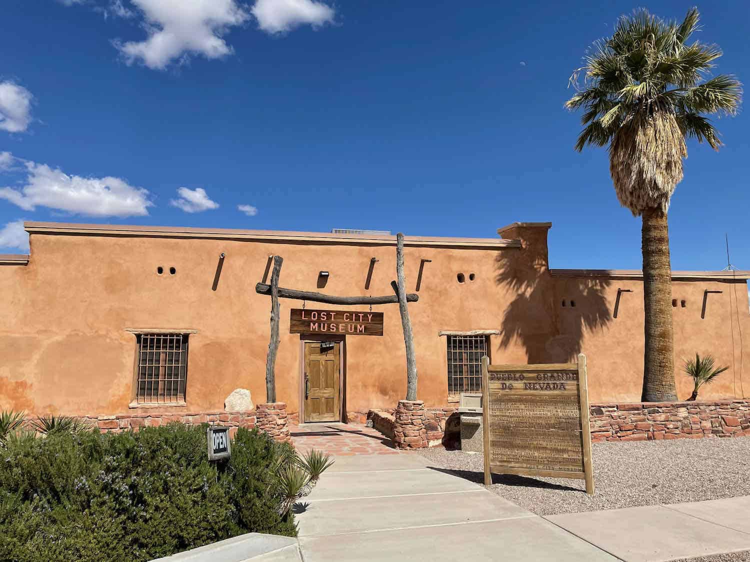
On the way to Valley of Fire, we stopped into the Lost City Museum (website here) just off the road. The rocks in this area date back millions of years, but artifacts tell stories of the people who lived in Southern Nevada thousands of years ago. The Lost City Museum provides an opportunity to learn about them.
It’s a small museum and doesn’t require more than 45-minutes to an hour of your time. I recommend watching the video that speaks to the Puebloan culture.

The first people were hunters and gatherers who started building pit houses around 600 AD. They farmed the area and traveled and traded with northern tribes near the Grand Canyon.
An extended drought hit, and by AD 1150, they disappeared. When the Spanish explorers came through around 1800, they found some Paiute tribes.
In 1935 the Civilian Conservation Corps (CCC) built this museum near an archeological site. The complex includes a reconstructed pithouse and pueblo dwellings. Look for basketwork and pottery on display inside.
Lost City Museum is worth a visit and makes a good mid-day break. (I must add, I frequently run into CCC projects, and their endurance speaks to the quality of the work.)
Valley of Fire State Park
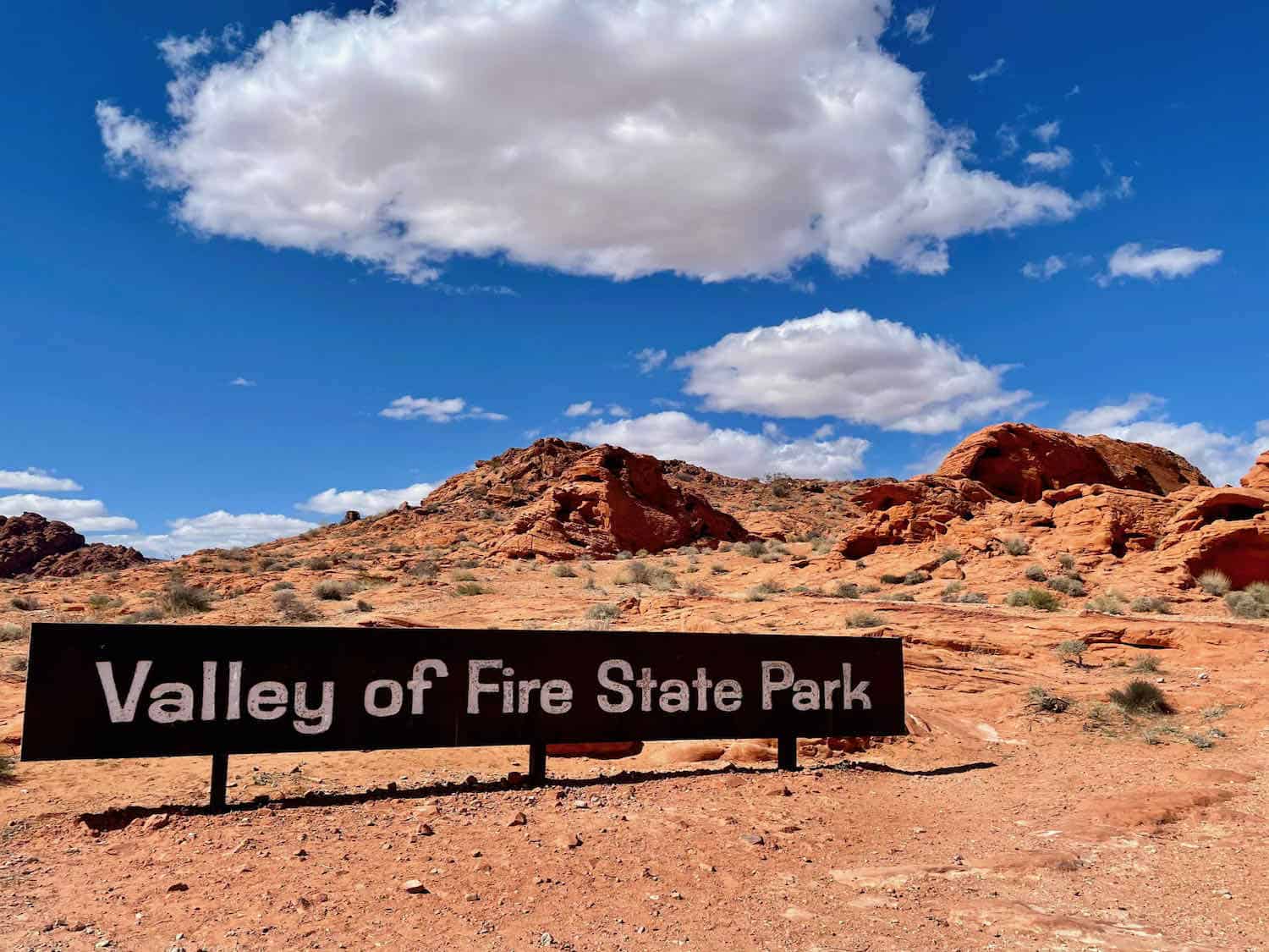
Valley of Fire was the first state park in Nevada, and on most “lists,” it is ranked the best. To me, it offers a unique landscape like a National Park, just a small one.
Valley of Fire State Park contains 44,000 acres compared to Yosemite at 780,000 or Yellowstone over two million. The red rock formations glisten with a fiery punch, enough to make you squint your eyes.
The park’s sandstone was formed from ancient sand dune fields during the Jurassic Period. The ground was subsequently faulted and uplifted by tectonic forces and then eroded by water and wind. The current rocky landscape is so unusual and photographic that some movies filmed scenes here include:
- Transformers (2007)
- Casino (1995)
- Total Recall (1990)
- Austin Powers: International Man of Mystery (1997)
- Con Air (1997)
- Star Trek: Generations (1994)
- The Beastmaster (1982)
- Breathless (1983
We entered the East Entrance. Our plans allowed the entire afternoon and the next day to explore, so we mainly drove the park and scouted out possible photography spots.
Almost immediately, we encountered a steep hill where Elephant Rock looms on the right. The summit would be a fantastic lookout and photo op, but there is no place to park.
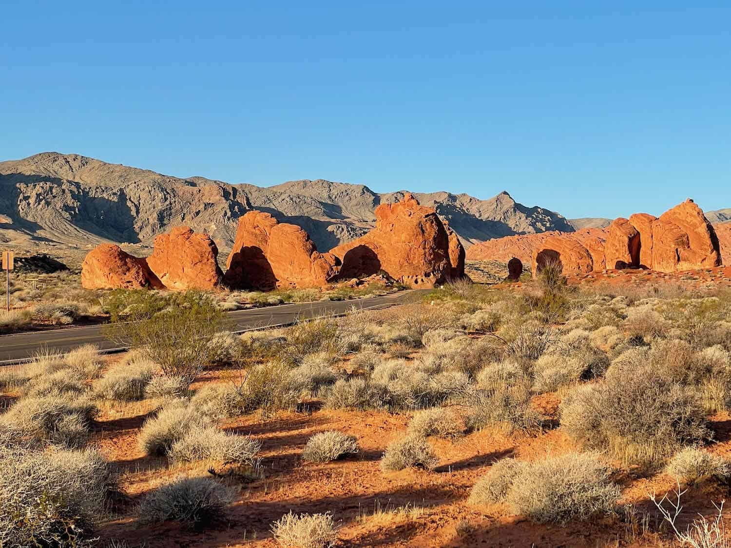
Continuing past the Seven Sisters (seven similar rock formations), we turned toward the Visitor/Ranger Station. Once again, much was closed except the restrooms and limited snack counter. Typically, an exhibit room displays information on the geology of the area.
The rangers, however, were on hand to answer questions and give out park maps. While exiting, I was almost blinded. The boulders behind the center were nearly neon. I swear I imagined myself on Mars- the red planet.
We drove up to the White Domes area, passing signage for the famous Fire Wave trail (you can’t see it from the road.) I decided I’d hike that the next morning when it’s cooler.
Even in March, the rocks soak up the sun and radiate a lot of heat. I wouldn’t recommend a visit in July or August.
The roads through Valley of Fire State Park present vistas worthy of numerous Instagram or Facebook likes. We continued exploring until the journey ended up at the West Entrance.
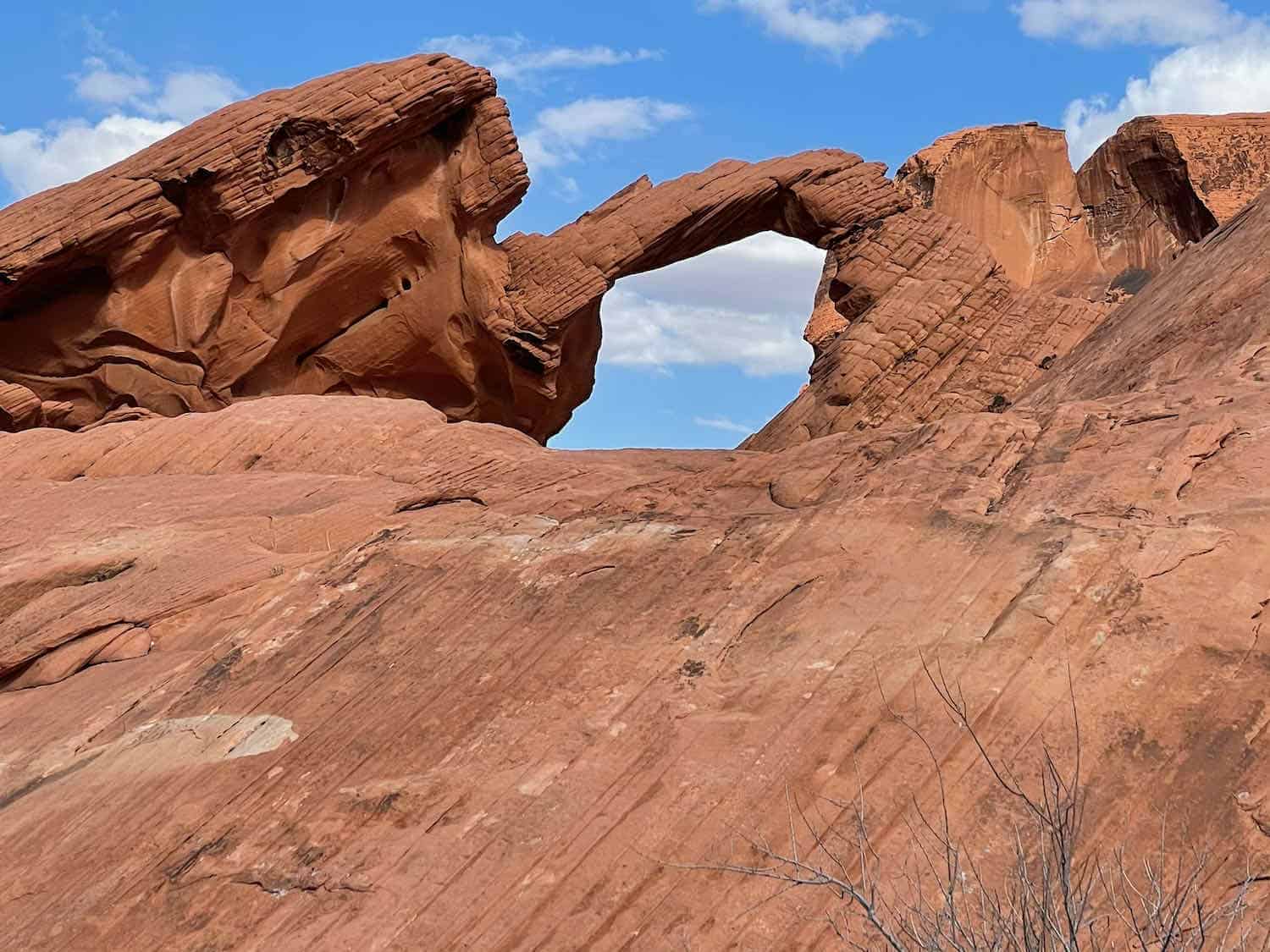
Turning around, we headed toward Atlatl Rock (with petroglyphs) and Arch Rock (somewhat disappointing if you’ve been to Arches NP) and then took the Scenic Loop Road. The 3-mile loop, a favorite of bikers, passes several natural attractions.
As you might have surmised, this park is relatively easy to cover; hence it makes a popular day trip from Las Vegas.
Vegas road trip Day Two: More Valley of Fire State Park
We got an early start the next morning to capture the Seven Sisters as the sun was rising. We were surprised and delighted to pass a bighorn sheep, but of course, we missed the photo op!
Rainbow Vista
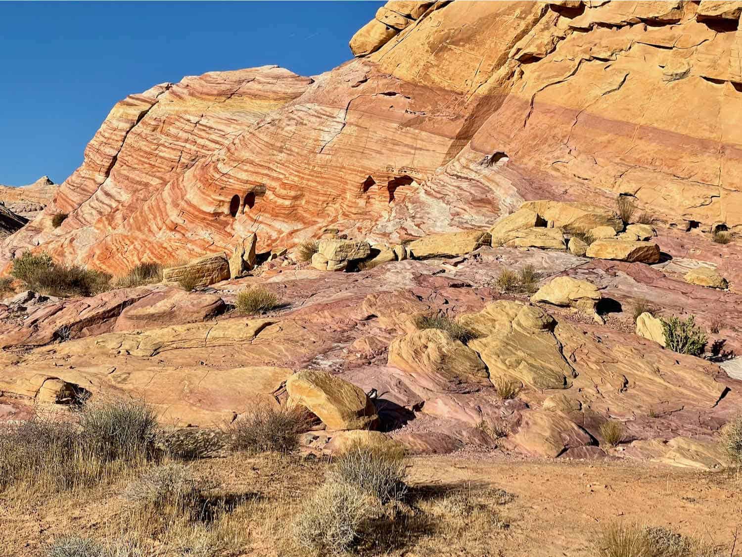
At Rainbow Vista, the smooth sandstone looked like someone had poured thick batter and then let it solidify. The range of pink, reds, yellows, and oranges obviously gave the area the name. They were fun to climb around.
Fire Wave
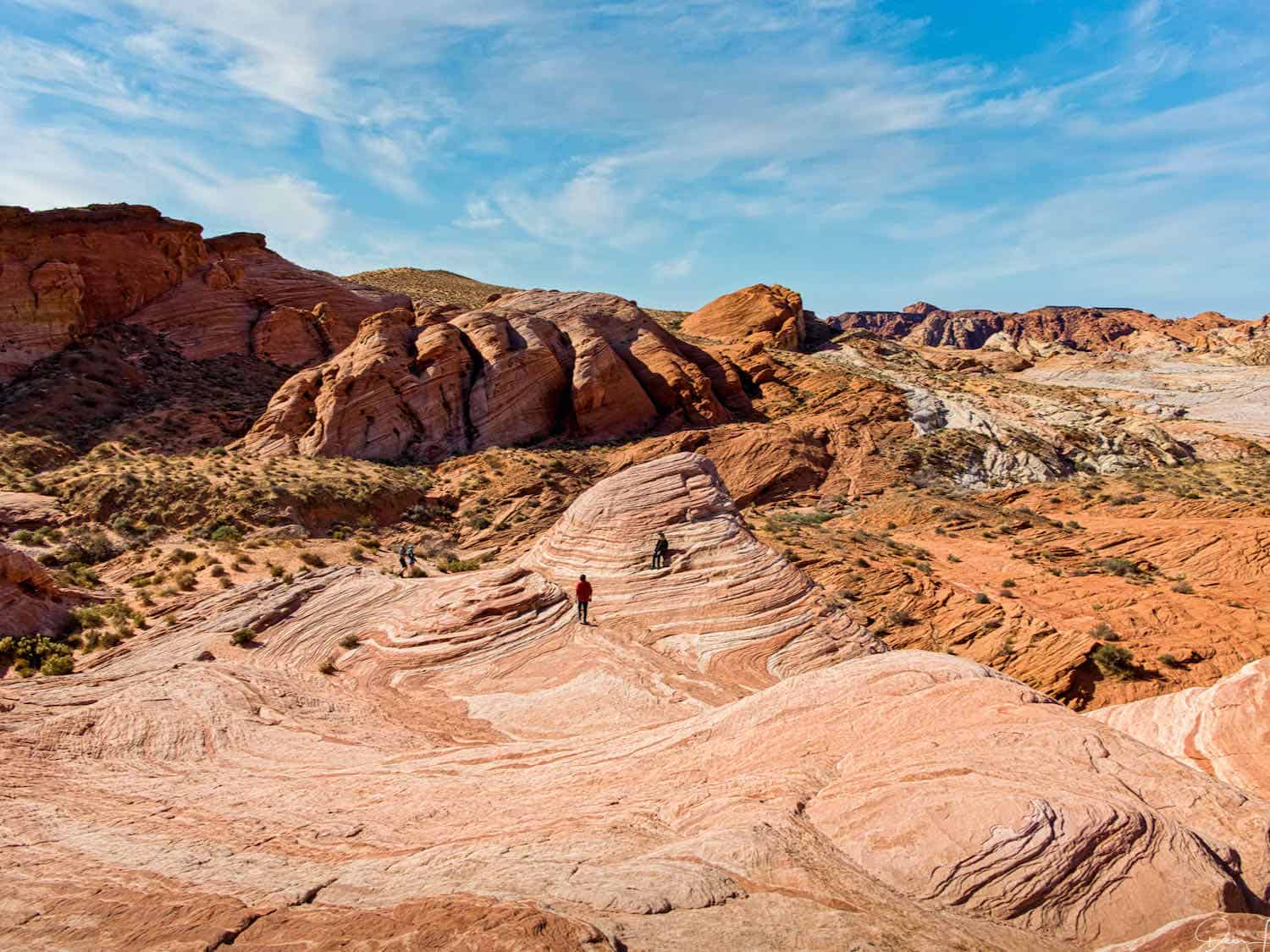
We moved on toward the Fire Wave, which takes about an hour to hike. In my opinion, this is the star of the park, so don’t miss it.
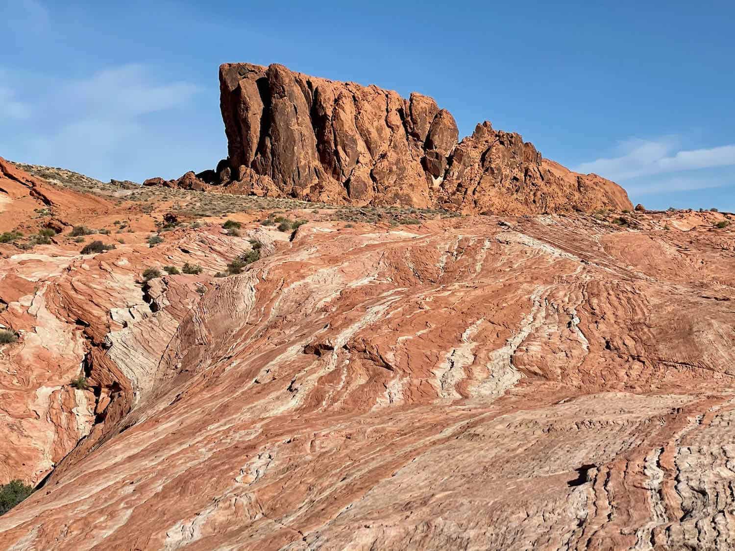
The 1.5-mile hike follows a reasonably easy trail; you just have to watch your footing in places. You first go through some rock tunnels and then pass the massive standing wall or ridge. When I arrived at the Wave, I encountered others already there.
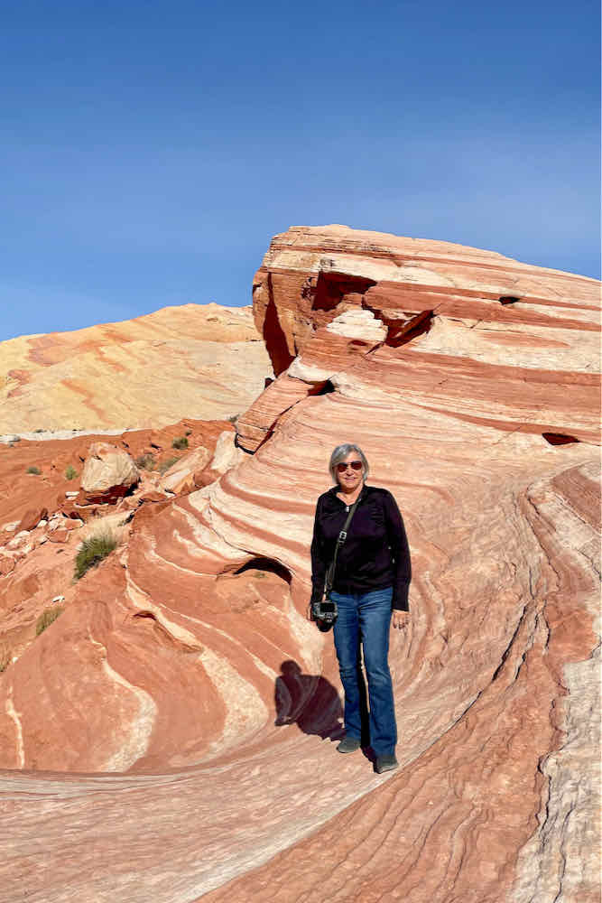
The sight resembles a red and white striped ribbon that loops around or a colorful flow of hardened lava. It rolls down the incline in a wave-like pattern creating a dreamy swirl of color.
Beehive
Next, we explored the Beehive area, formations eroded by wind and water with indentations like honeycomb.
Elephant Rock
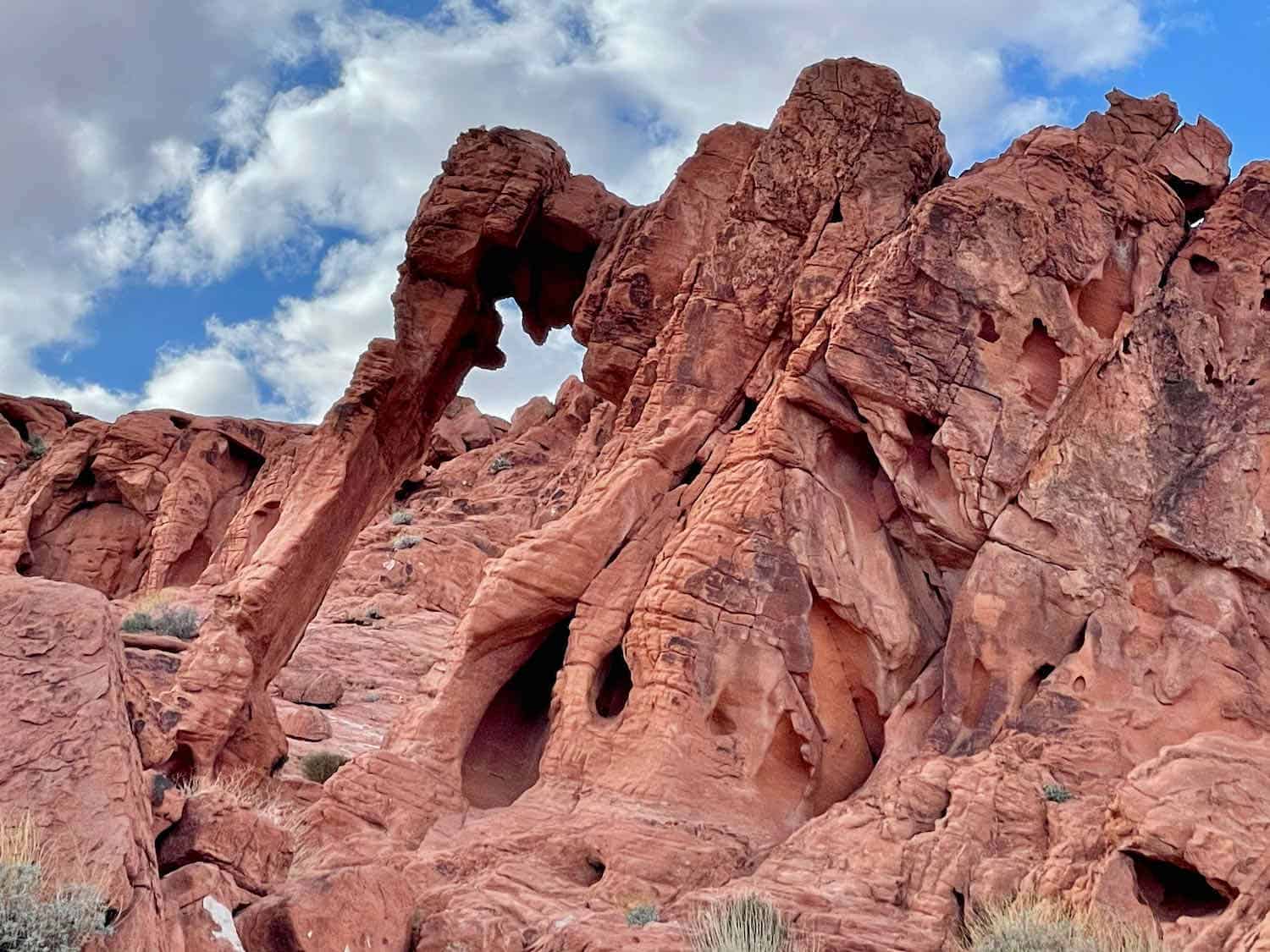
We saved Elephant Rock for the last of our morning tour, as it was near the exit. To get close, you must park and make a short but uphill hike. While I could envision the head and long trunk, you have to be standing and looking in just the right spot to call it a pachyderm.
We returned once more to Fire Canyon to photograph the sunset. The view is spectacular, but we were perhaps a few minutes late.
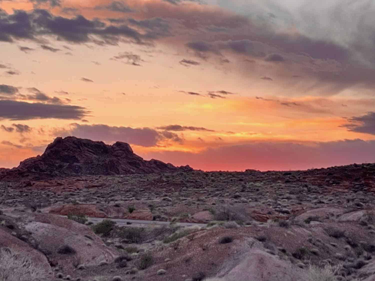
It was fun watching a photographer posing a lovely wedding couple. We drove back toward the East Gate, stopping one final time to capture the sunset’s afterglow.
If you are visiting Sin City and want to leave the glitz behind, rent a car and head to Valley of Fire, one of the best day trips from Las Vegas. If you have enough time and energy, add the Hoover Dam. Both are worth a visit. If you want more hiking or sunrise photos, plan for two days.
Boomer Travel Tip
Check out the rest of our U.S. road trip ideas!

