Are you looking for a day trip from Boise that will take you into the remote area of Eastern Oregon that’s just across the Snake River from Idaho? I recommend a day trip to Leslie Gulch.
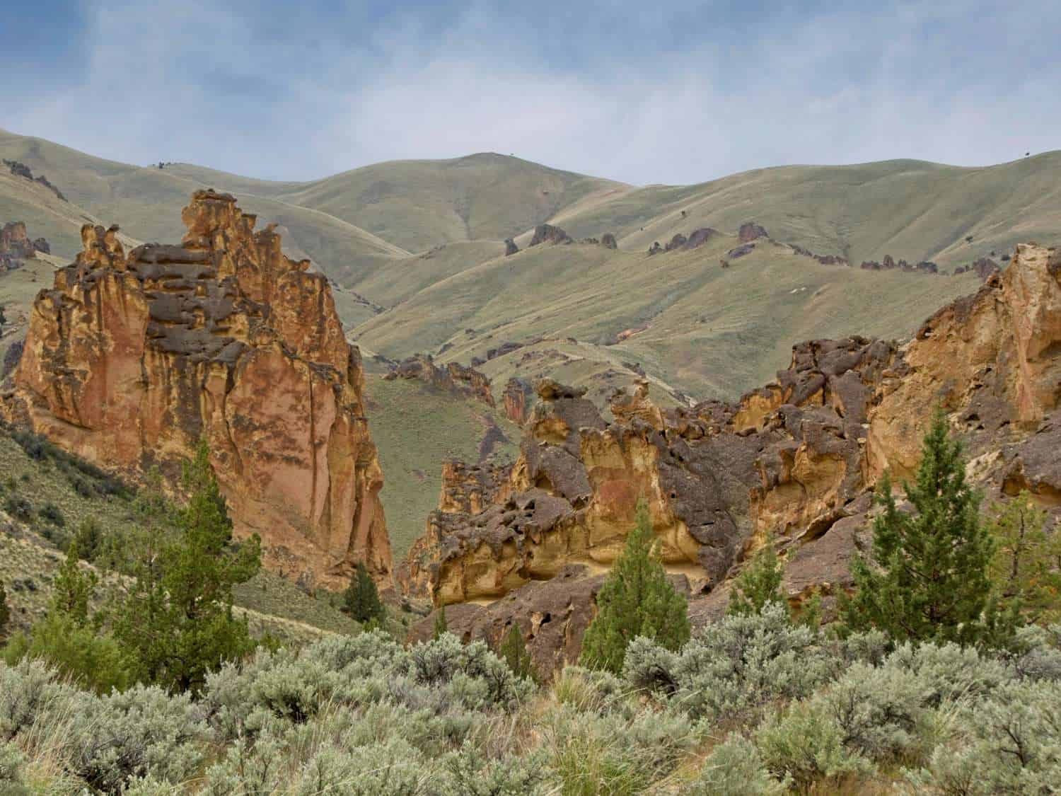
Alan and I were wowed by our visit to Leslie Gulch and can’t wait to return for more active boomer adventures. Located in Malheur County, the isolated region is home to hiking trails that wind among towering rock formations reminiscent of Zion National Park in southern Utah. And the high desert scenery from your vehicle isn’t bad either.
We had always wanted to see this corner of the Owyhee Canyonlands in Oregon. Although Leslie Gulch has a designated campground, Alan and I aren’t campers. The logistics of visiting this off-the-beaten-path treasure stumped us until we discovered that Leslie Gulch is a very doable day trip from Boise, Idaho.
If you’re planning a trip to the Boise area, let me show you why exploring Leslie Gulch deserves to be at the top of your to do list.
Table of Contents
Exploring the beauty of Eastern Oregon’s Leslie Gulch
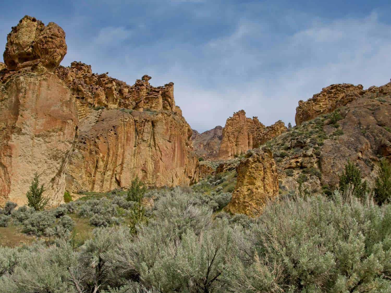
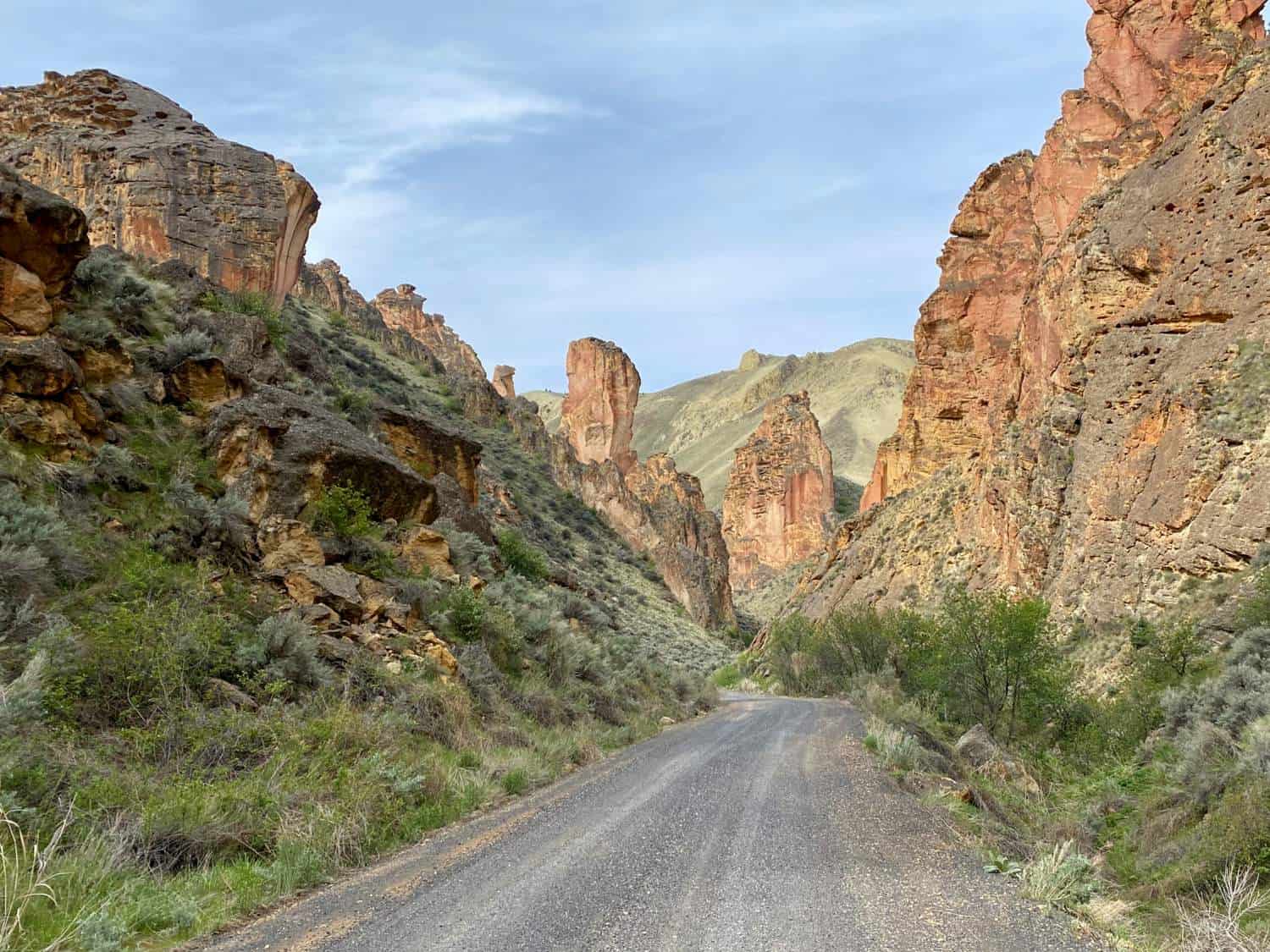
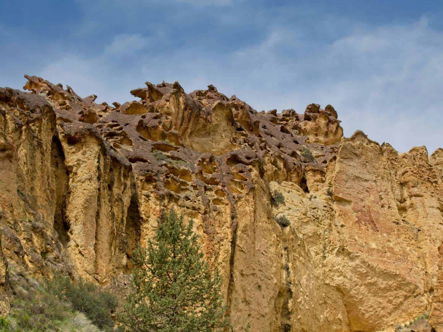
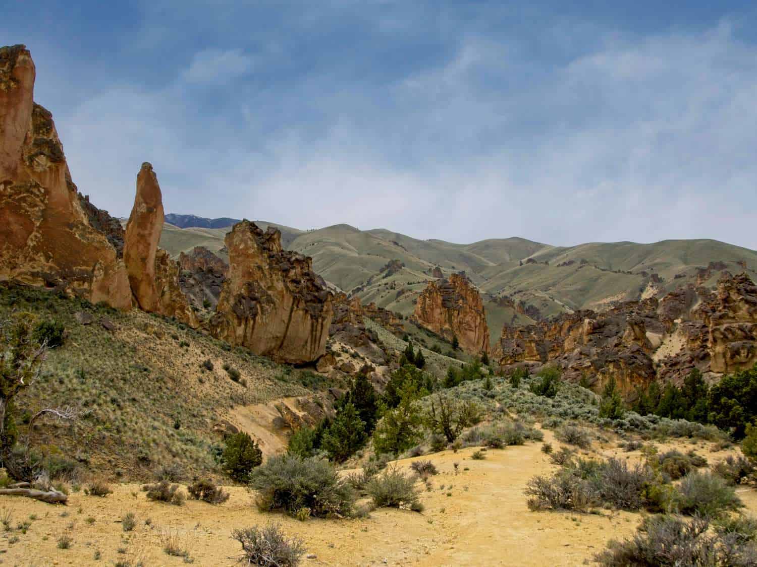
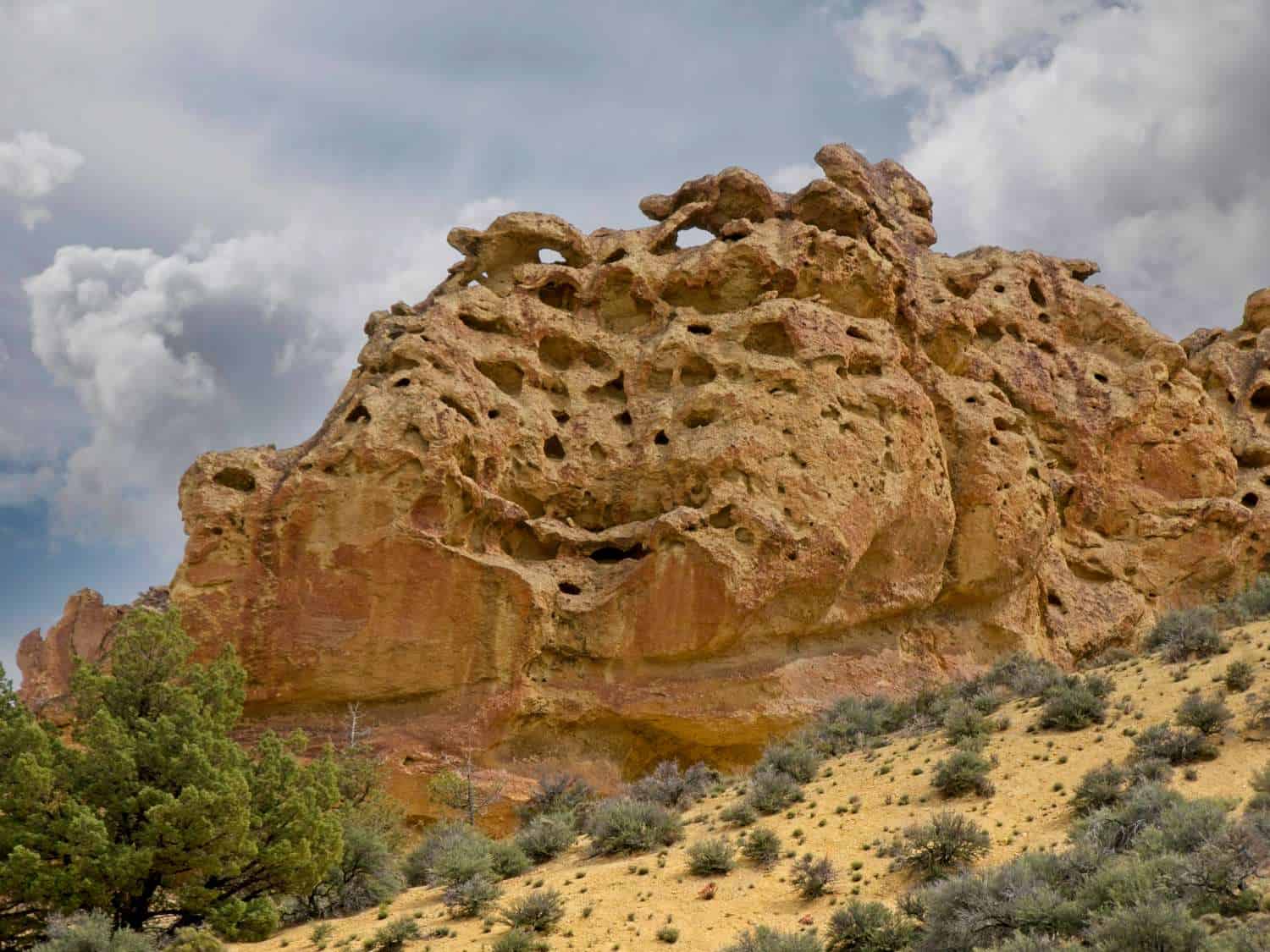
The Bureau of Land Management refers to this 11,000 acres of wilderness as the Leslie Gulch Area of Critical Environmental Concern. I’d call it a geological wonderland of towering spires and honey-combed cliffs painted by minerals into earthy desert colors of orange, terra cotta, and beige.
So how did this scenic beauty on the very edge of Eastern Oregon come to be? Leslie Gulch is the result of violent volcanic eruptions that occurred 15.5 million years ago.
When the Mahogany Mountain caldera erupted, rhyolite ash and rock fragments fell back into this same caldera where Leslie Gulch now sits. It created rhyolite tuff (consolidated ash) which has eroded over the years into honey-combed towers and spires.
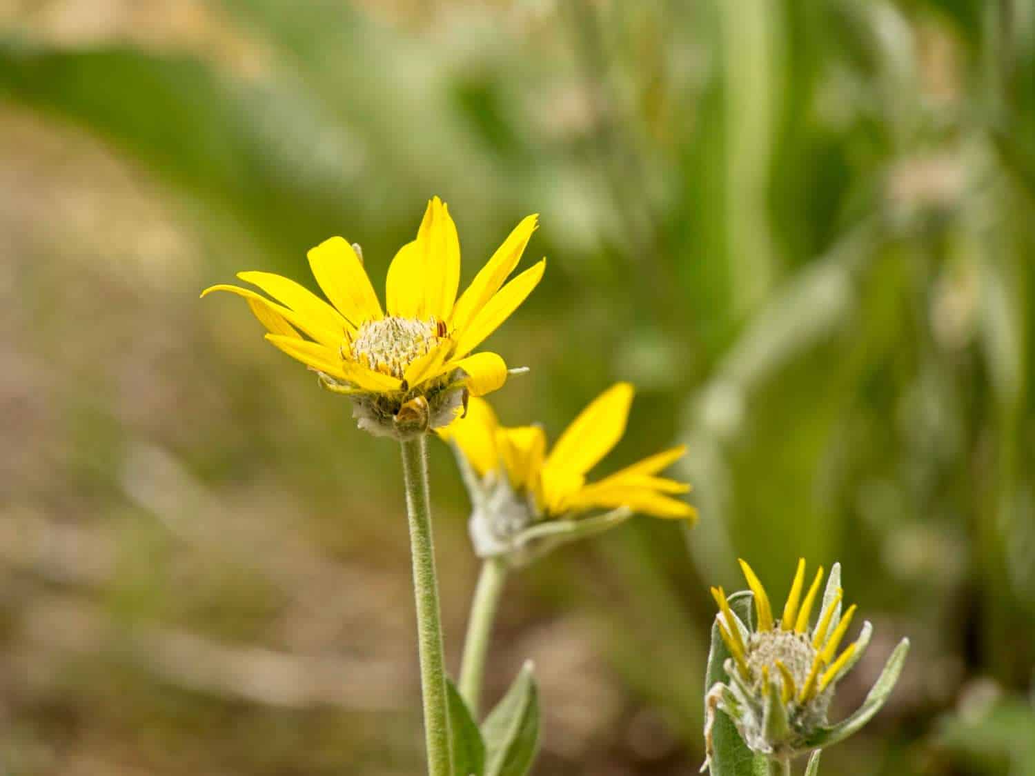
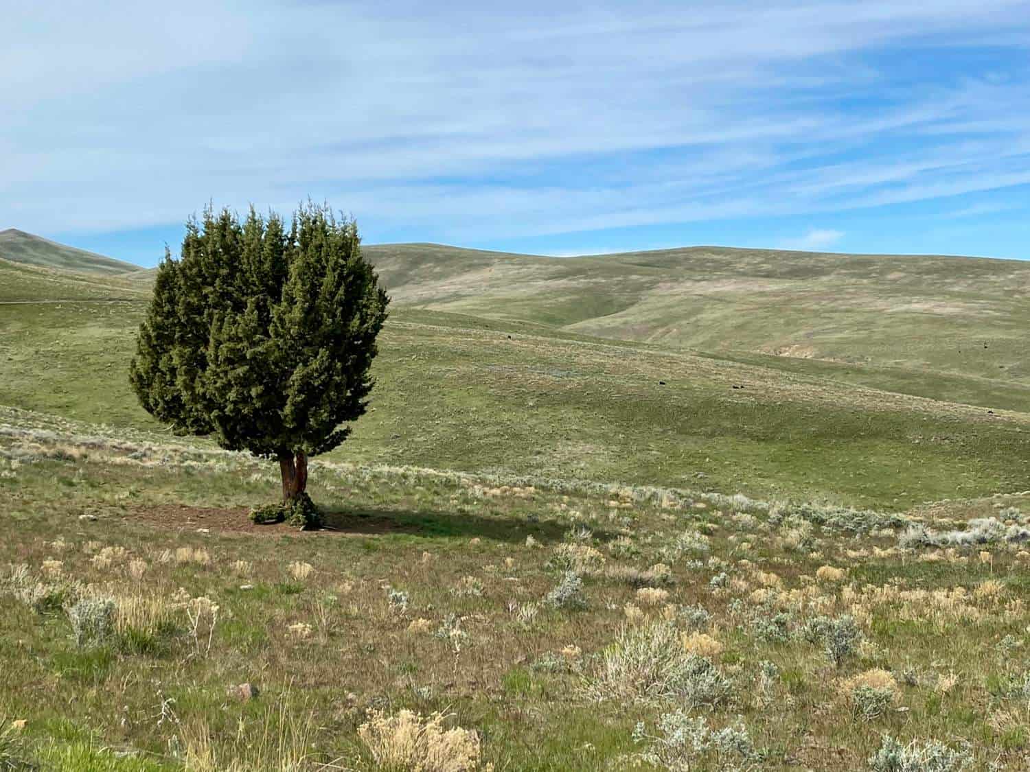
But don’t get the impression that this stark landscape is all high desert and rocks. Plant life is plentiful and includes two rare species that only grow in the Leslie Gulch Drainage, Packard’s blazing star and Etter’s groundel.
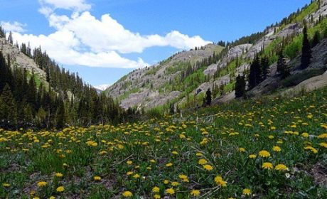
If you visit in late spring and early summer, wildflowers will provide a colorful contrast to your journey. Expect to see stands of bright, yellow arrowleaf blasamroot, purple lupine, and red Indian paintbrush among many others.
Getting to Leslie Gulch From Boise
Although Leslie Gulch is located east of Owyhee Reservoir in Malheur County Oregon, we approached this gorgeous place from US 95 in Idaho. Since Alan and I were staying about 55 miles away in Caldwell (a western suburb of Boise), we took Highway 55 southwest to Marsing (last chance to gas up). We then turned south on US 95 (goodby cell service), continuing about 19.1 miles until turning west onto McBride Creek Road.
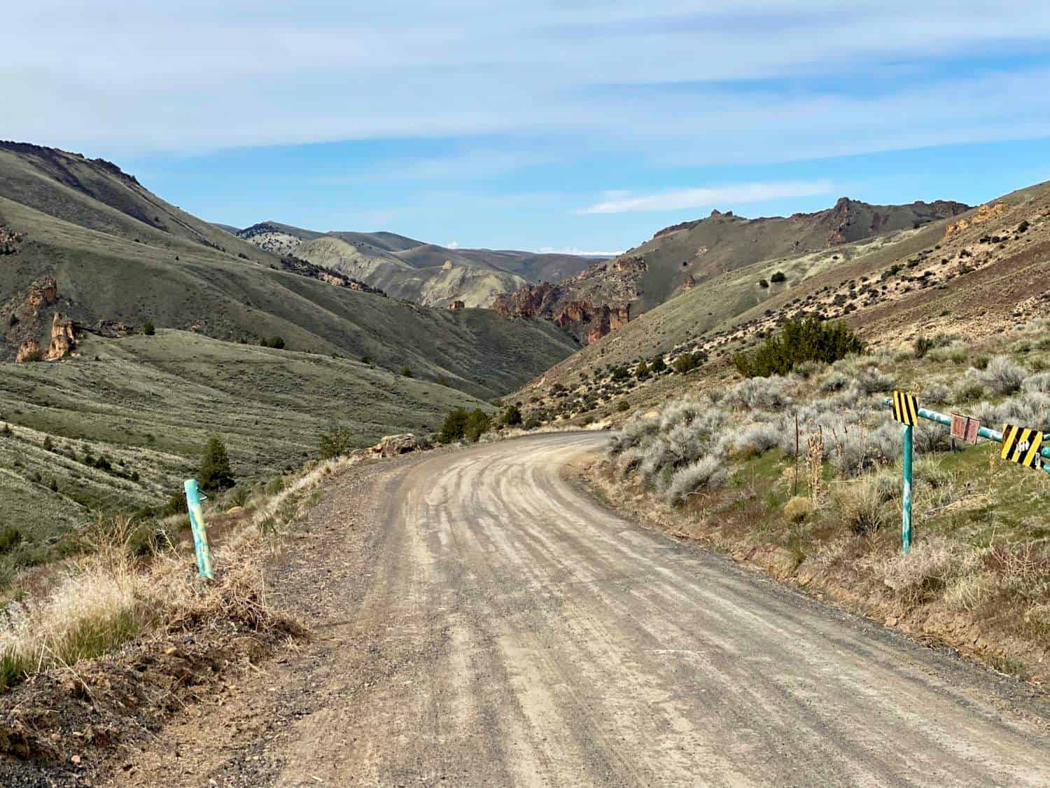
From here, the pavement turns to gravel. McBride Creek Road winds through farmland so take it slow, enjoy the scenery, and watch for free range cattle.
The road twists and turns for 8 miles, passing through the tiny Oregon farming community of Rockville. After a sharp right and then another right, the road becomes Succor Creek Road. It’s about 1 more mile before turning west onto Leslie Gulch Road.
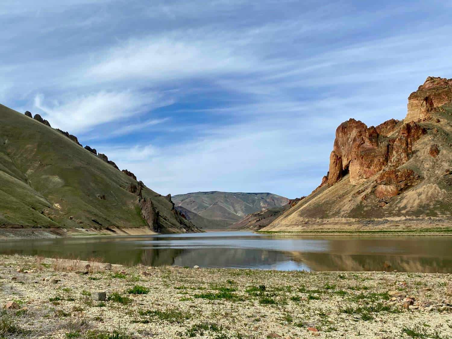
Your 15-mile scenic drive through Leslie Gulch begins here, ending at the boat ramp into Owyhee Reservoir. The road is dirt and best avoided if it’s raining or when conditions are muddy. Remember, you are far from civilization so don’t expect AAA to bail you out.
Another option is to arrive via Succor Creek Road (also known as Leslie Gulch-Succor Creek National Back Country Byway) from Highway 201 in Oregon. This is a longer drive of about 33 miles on a washboard gravel road.
Boomer Travel Tip
We use the Benchmark Oregon Road & Recreation Atlas to plan our Oregon road trips.
How did Leslie Gulch get its name?
Leslie Gulch seems to be a mundane name for a natural setting this spectacular. So how did the name Leslie Gulch come to be?
The gulch was named after cattle rancher, Hiram E. Leslie, who was struck and killed by lightning in 1882 in Dugout Gulch (now called Leslie Gulch). Leslie was also a professional photographer in the very early days of the profession. He owned a number of galleries in close-by Silver City, Idaho (now a fun historic mining town that’s worth a visit).
During the early years, Leslie Gulch Canyon Road connected Rockville (the charming farming village you passed on the way in) and Watson, now sitting at the bottom of Owyhee Reservoir. Goods and mail were hauled along the route, keeping these remote communities alive.
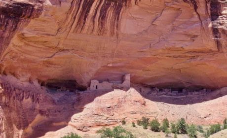
But Native Americans arrived in Leslie Gulch long before farmers, cattle ranchers, or the hikers and fishermen of today. They fished the Owyhee River, camped along the bank, and hunted in the canyons and gulches, arriving at least 5,000 years before Europeans.
How to prepare for hiking in Leslie Gulch
You’ll find several hiking trails in Leslie Gulch that are well worth your time. We did!
A couple of safe hiking reminders: this is high desert country with no available water so bring your own. And the sun is hot, even in spring and fall, which are the best times to hike in Leslie Gulch. Also, do not hike these trails when rains or thunderstorms are predicted due to flash flood possibilities.
No matter the season, be sure to wear sunscreen and a hat. I also recommend wearing lightweight long pants and long sleeve shirts to avoid ticks. And you’ll need to watch out for rattlesnakes especially since the trails often travel through sage and brushy overgrowth.
Boomer Travel Tip
Take a look at our day hiking essentials before heading down the trail.
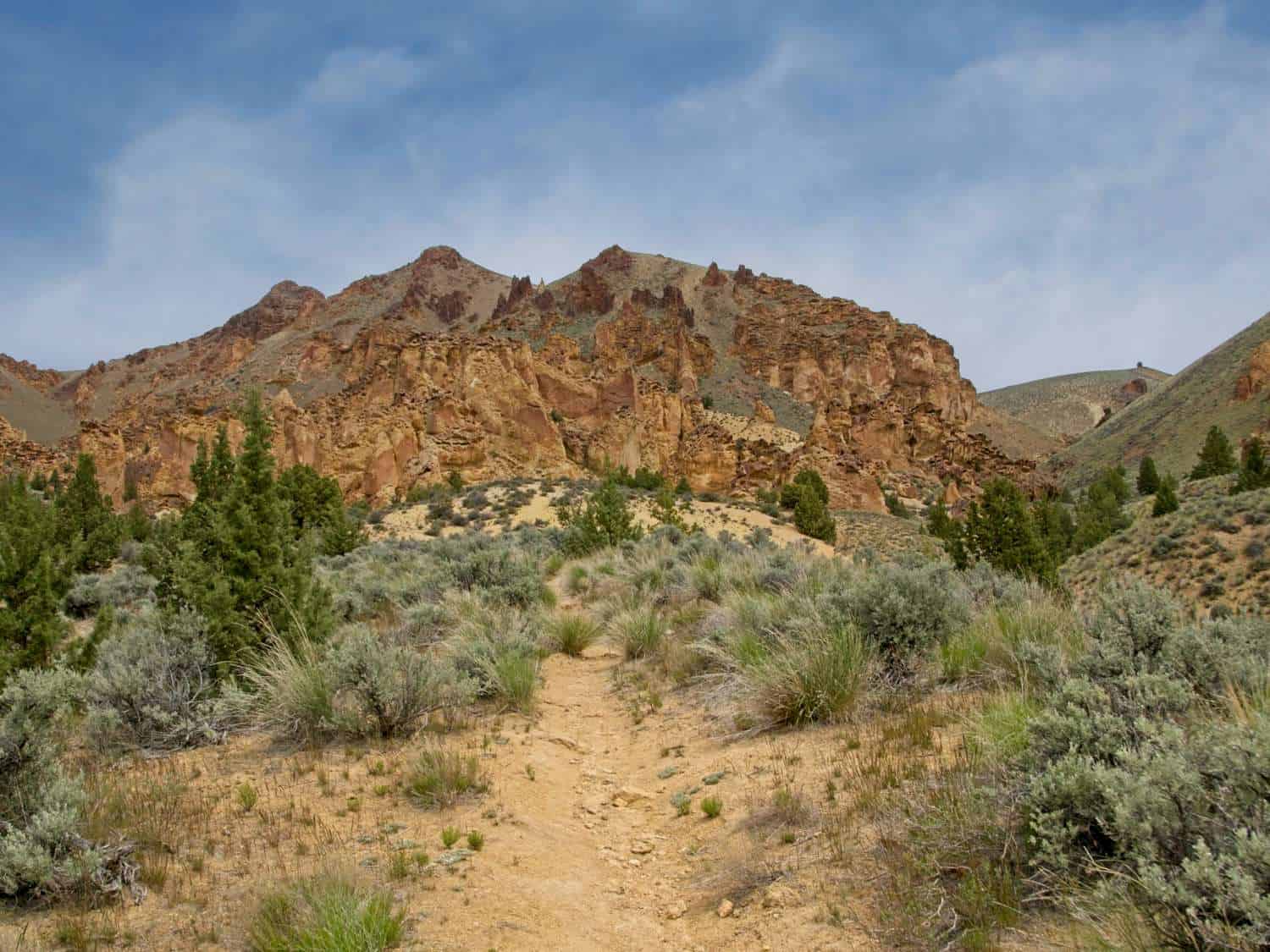
Juniper Gulch trail
We drove through Leslie Gulch all the way to Owyhee Reservoir (also known as Owyhee Lake), got out and explored a bit. Then Alan turned the SUV around to head back up the road for some hiking.
After he parked our vehicle in the small lot at the sign for Juniper Gulch trail, I headed for the pit toilets located across the road. If you’re arriving from the entrance to Leslie Gulch, the trailhead is 10.3 miles and on the right.
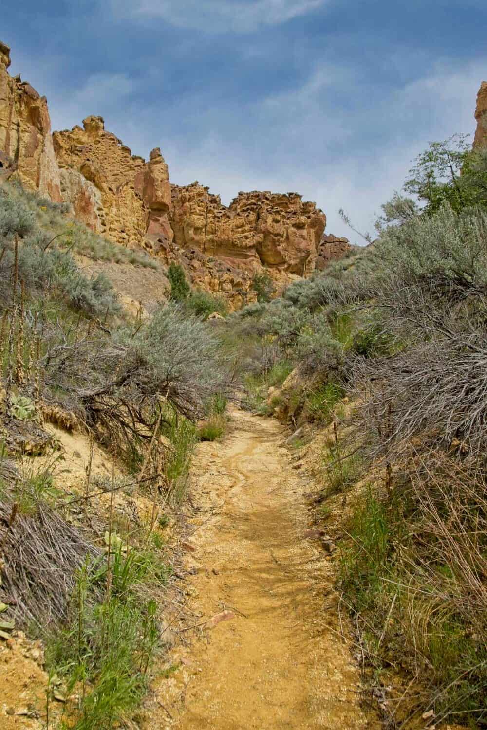
After gearing up with plenty of water and snacks, we headed down the trail, which starts in a narrow, sandy wash with overhanging rocks and caves bordered by a few willow trees and lots of sage brush.
Online directions indicate that the trail forks at 0.6 miles. If you go right, an easy to moderate undulating trail leads to an amphitheater of rhyolite formations that are part of Mahogany Mountain’s collapsed caldera (1.6 mile round-trip from the trailhead with a 400 ft. elevation gain).
Taking the left fork leads to the ridge line. It’s a partly steep and difficult 3.3 mile round-trip trail from the trailhead and a 1045 ft. elevation gain. A stunning view of the Owyhee Canyonlands is the reward for the trail’s difficulty.
During our hike, the left fork was blocked by rockfall that required scrambling up, around, and back down. Instead, we took a trail to the right that led up and out of the wash. The slightly steep exit and entrance to the wash is what changes this trail from easy to moderate.
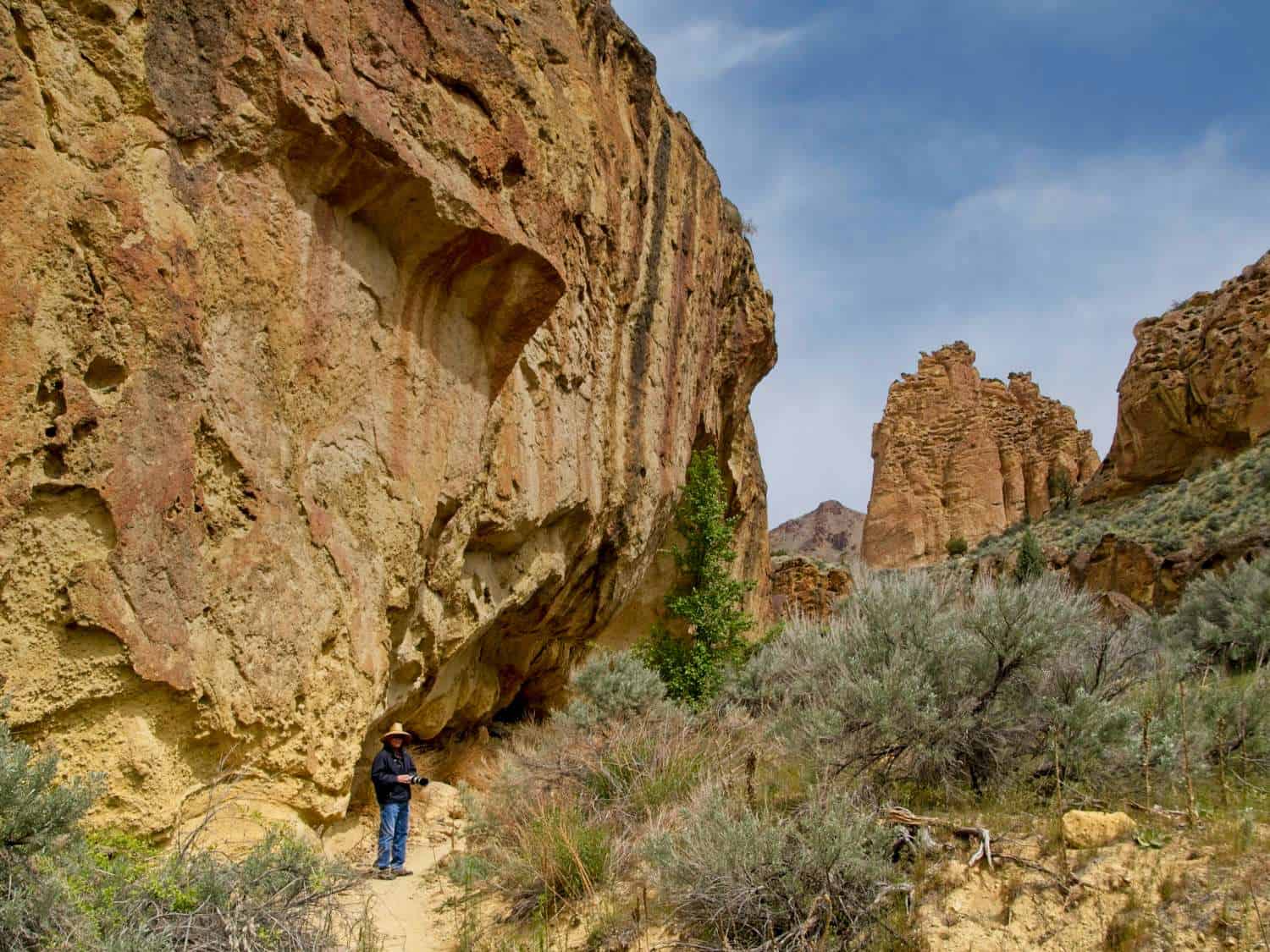
Soon, we were walking on a fairly flat trail surrounded by honeycomb rhyolite rock formations that made a natural amphitheater. It was a visual delight of red-orange rocks accented by the gray-green of sage and desert grasses. Before taking photographs, we stopped to listen to the silence and take in the beauty of the place.
There were plenty of opportunities to go off-trail to scramble around some of the hoo-doo formations, check out rock caves, and look for small slot canyons.
Juniper Gulch is also your best chance to see the largest herd of California bighorn sheep in the country. Yes, they live here! Unfortunately, we didn’t see them.
Timber Gulch Trail
Timber Gulch trail is located 11.7 miles from the start of Leslie Gulch Road. You will pass Upper Leslie Gulch and Juniper Gulch trails on the way to a one-car pullout on the right-hand side of the road at the Timber Gulch trailhead. The moderately challenging trail is a short, 1.2 mile round-trip hike with a 350 ft. elevation gain. After about 0.3 miles and a bit of rock scrambling, the trail leads hikers to a stunning amphitheater of sheer cliffs. Like all hikes in the area, flash floods are a possibility if it rains so beware.
Dago Gulch trail
The hike in Dago Gulch is an easy 2.1 mile-round-trip on a trail with a 190 ft. elevation gain. In fact, it’s the easiest hiking trail in Leslie Gulch.
To reach the Dago Gulch trail, drive 9.3 miles from the start of Leslie Gulch Road to a parking area on the left-hand side of the road. There is a kiosk and gate at the trailhead.
You’ll be hiking along a jeep road that ends at a clearly marked private property boundary. There are excellent hoo-doo views as well as wildflowers in spring and summer. The slightly uphill hike is not shaded so bring plenty of water and wear a hat. It makes for a hot summer hike.
Hardy hikers can turn this hike into an adventure by exploring narrow slot canyons or scrambling among the rocks.
Upper Leslie Gulch trail
Upper Leslie Gulch trail is your first hiking opportunity when entering Leslie Gulch. The lightly used trail is not as popular as Juniper, Dago or Timber Gulch trails so if you only have one day to explore, hike the other trails, first.
You’ll find the trailhead on the left as you start down Leslie Gulch Road. The moderately challenging trail is 4.2 miles round trip with a 700 ft. elevation gain. The hike begins on a narrow trail before entering a dry creek bed that can be muddy in spring. Watch out for brush, ticks, and rattlesnakes. The trail ends at a slot canyon that requires bushwhacking to explore.
Wildlife watching
Leslie Gulch is home to a wide range of wildlife. Will you see them? Like most wildlife watching, you’ll be more likely to spot animals early in the morning and near dusk.
Look for bobcats, coyotes, mule deer, and Rocky Mountain elk as well as California bighorn sheep that were reintroduced into the region in 1965. And watch out for rattlesnakes!
Bird watchers might spot song birds, raptors, and species like California quail, chukar, northern flickers or white-throated swifts.
Precautions for visiting Leslie Gulch
Remember that you are miles from gas stations, auto repair, food, or emergency help.
- Check the weather forecast. Leslie Gulch Rd. can become muddy and impassable with heavy rain or ice.
- Prepare for no cell phone service. Let someone know where you will be.
- Print out any maps or directions beforehand. There is no Visitor Center.
- Pack food for the day.
- Top off your tank at Marsing so you will have enough fuel for the return trip.
- Bring a spare tire and know how to change it.
- Drive your vehicle. Driving a rental car into Leslie Gulch breaks the contract.
- Pack a first-aid kit.
- Bring water.
- Wear sun protection.
Where to stay in Boise that’s near Leslie Gulch
If you are day tripping from Boise, the following suburbs are closest to Leslie Gulch:
Caldwell, ID is 60 miles (1.45 hours) from Leslie Gulch. Book your hotel here.
Nampa, ID is 62 miles (1.50 hours) from Leslie Gulch. Check for hotel here.
If you plan to continue exploring the area, booking a vacation rental is a smart choice. That’s what we did!