A Southwest Arkansas road trip may not be at the top of your U.S. road trip list. That’s a mistake! And James Richardson has driven it so that we can share first-person experiences with you.
If you enjoy getting off-the-beaten-path, exploring history and enjoying beautiful natural landscapes, follow James Richardson’s tips for the best things to do on a road trip in Southwest Arkansas. He’ll even take you diamond mining!
Being in West Tennessee and having a travel bug, my bride of 54 years and I decided to explore our neighboring state of Arkansas. We had been to Little Rock and points north, so we decided to explore south of the state capitol, in particular the southwest portion of the state.
Arkansas is not a huge state and dividing it up into sections was not an exact science. But, join us on a Southwest Arkansas road trip where we found plenty to do.
We left our home in West Tennessee and headed south along the Great River Road (US 61.) Around Lula, Mississippi, we found US 49 that took us to Helena via the Mississippi River Bridge. Helena is an interesting town in its own right.
Table of Contents
Learn about the Blues in Helena, Arkansas
The Delta Cultural Center (official website) in downtown Helena sits on the banks of the Mississippi River. It is made up of two buildings. One is the 1912 historic depot which is now a museum telling the story of the big river and the cotton town.
The other part of the Delta Cultural Center is dedicated to the story of the Blues, the Bluesmakers, and the town of Helena. A portion of the Center was the studio for the longest running daily blues radio show in the United States, the King Biscuit Time, which ran from 1941 until 2018.
King Biscuit Time celebrated its 17,000th broadcast on May 13, 2014. From 1951 until his death in 2018, the program was hosted by Sonny Payne, who opened each broadcast with “pass the biscuits, ’cause it’s King Biscuit Time!”
Stop for a soak at Hot Springs National Park
After leaving Helena, we passed through towns like Malvern, Stuttgart (famous to duck hunters,) and into Pine Bluff, the tenth largest city in Arkansas. We stopped in Hot Springs, which would be our approximate northeastern most point. Sound pretty exact?
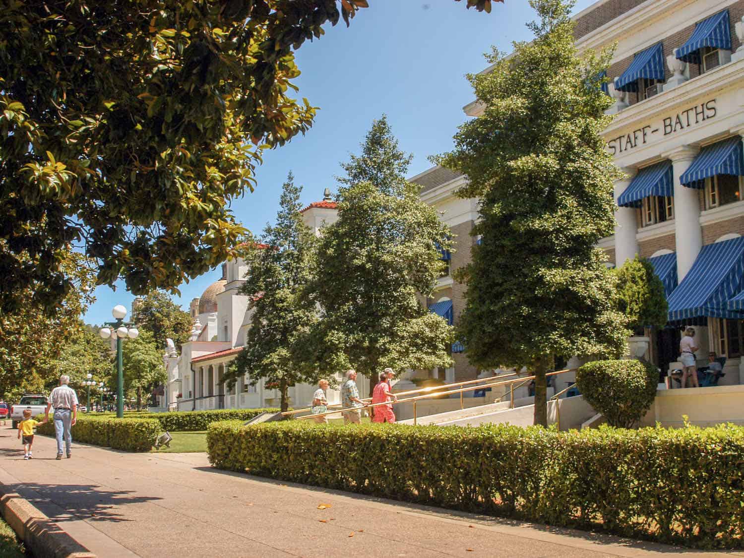
Hot Springs is noted for its namesake hot springs and the national park. Incidentally, Hot Springs National Park (official website) is the oldest in the country, and also, the only national park within the city limits of a town.
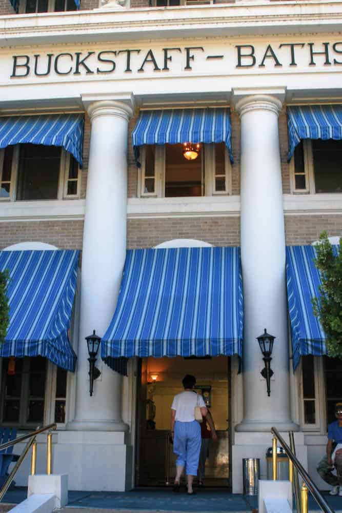
The famous bath house row makes Hot Springs National Park a favorite of visitors every year. It was certainly a favorite of my bride of 54 years.
Atop Hot Springs Mountain is a 216 foot tower with an open deck at the top affording incredible views of the area. The mountains immediately around Hot Springs offer hiking trails with good views of the town and the mountains. We took time out from our Arkansas road trip to explore some of these trails.
Boomer Travel Tip
Use our road trip planner to make the most of your next road trip adventure.
Spend time at Lake Ouachita
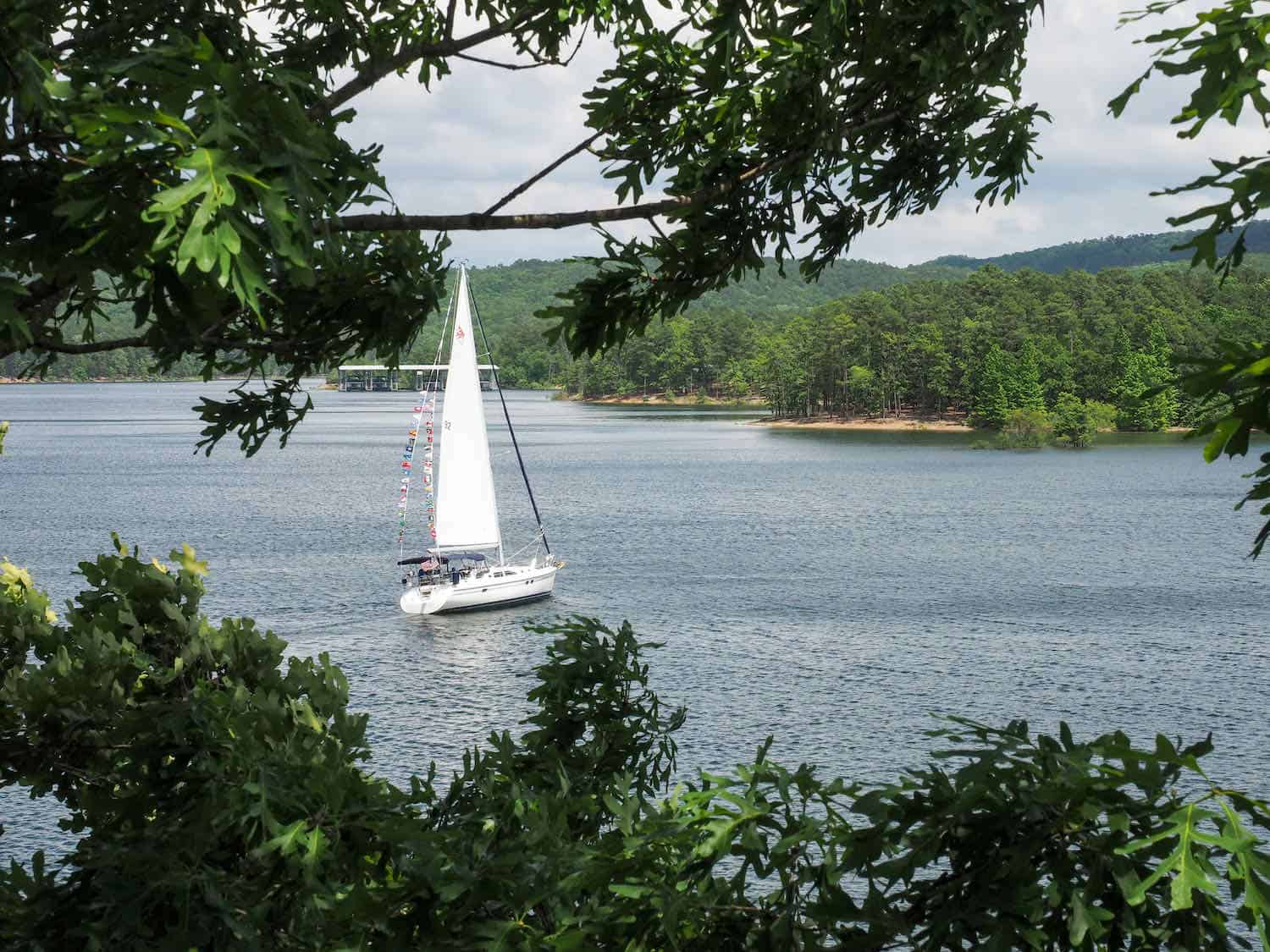
The Ouachita River runs through the surrounding mountains and dams forming three lakes for recreational opportunities in the Hot Springs area. Lake Ouachita is the western-most, the largest and the least developed lake.
It is one of five in the Arkansas Diamond Lakes Region around Hot Springs. The other four are Lakes Hamilton, Greeson, Catherine, and DeGray, which is the only resort state park.
At over 40,000 acres, Lake Ouachita is the largest man-made lake lying entirely within the state, and it contains over 200 islands. Located in the Ouachita National Forest and the Ouachita Mountains, no homes are allowed on the rustic shore line of over 600 miles. But there are nine resorts, a state park offering cabins, and several boat ramps.
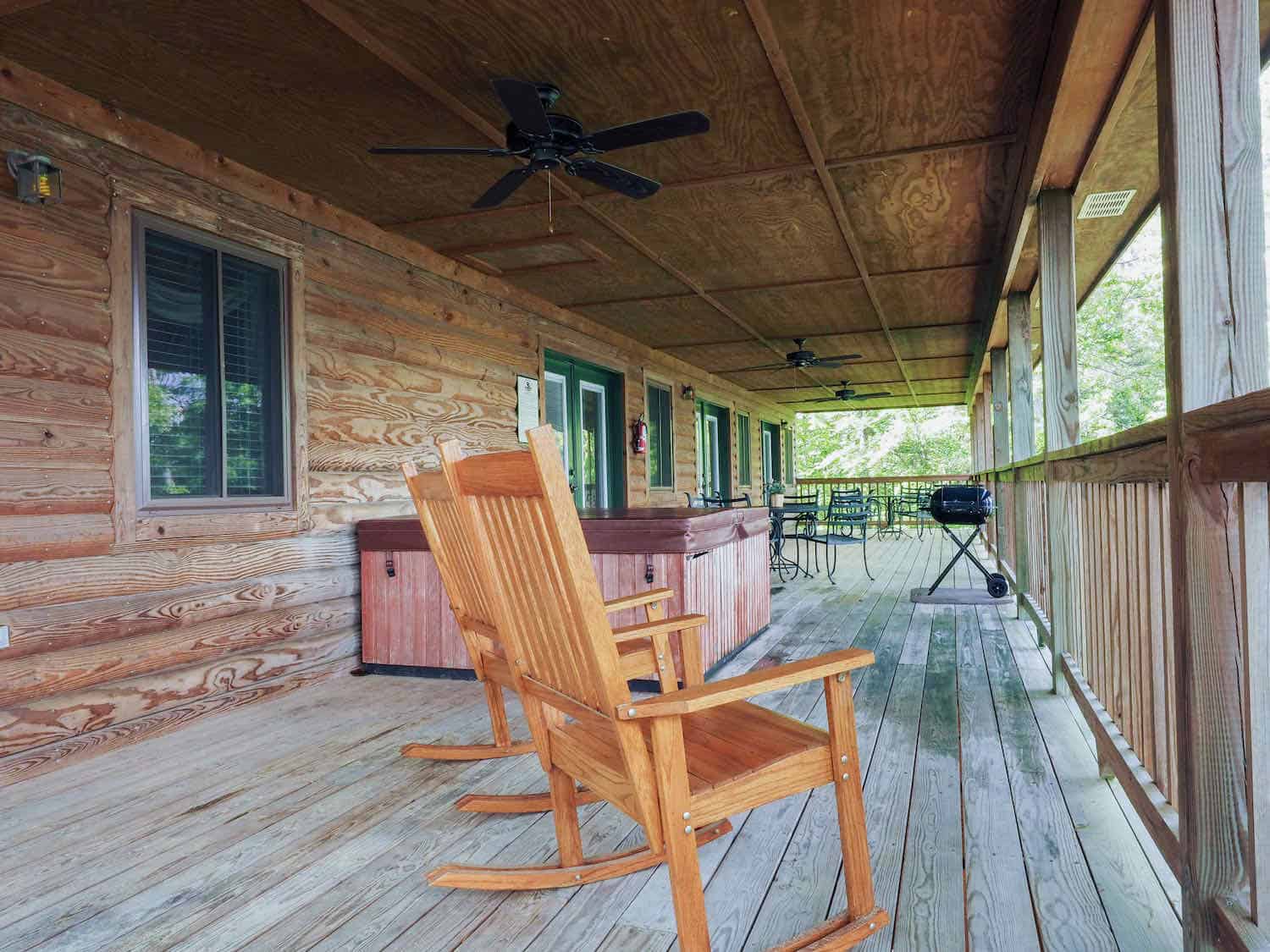
While visiting Lake Ouachita, we stayed at Mountain Harbor Resort and Spa located on the southern shore of the lake. It has a full service marina, boat rentals, and a beautiful lodge with a lot of extras. We enjoyed the views of the lake from the inn’s generous porch.
Visit Pine Ridge to remember Lum and Abner
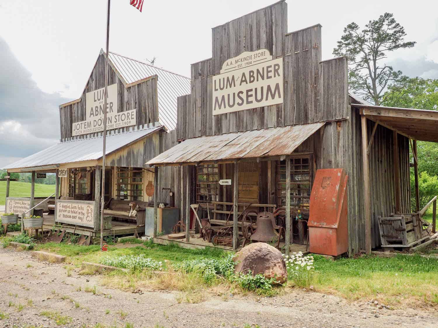
From Lake Ouachita, we traveled westward to the small unincorporated town of Pine Ridge. For all the “real old readers” (that includes this ‘real old writer’) whose parents might have listened to a radio pair called Lum and Abner, Pine Ridge has significance.
The program aired from 1931 to 1954. Modeled on life in the small town of Waters, Arkansas, near where the characters actually grew up, the show was very popular.
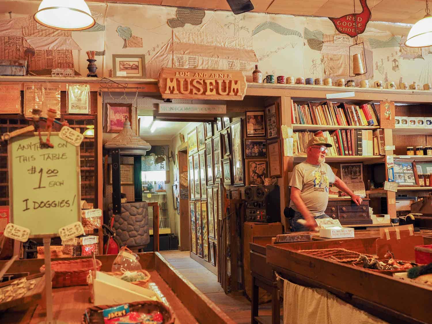
In 1936, the town of Waters changed its name to Pine Ridge after the show’s fictional town. The two oldest buildings in Pine Ridge, the Huddleston Store and McKinzie Store, both of which date to the early 20th century, are listed on the National Register of Historic Places and now serve as a Lum and Abner Museum and replica of the “Jot’em Down” general store heard in the radio series.
When I was very young, I remember my parents listening to Lum and Abner. Their episodes can still be heard if you search the internet.
Boomer Travel Tip
Need to update your road trip gear? Start with our recommendations for best road trip gear.
Stay at Queen Wilhelmina State Park
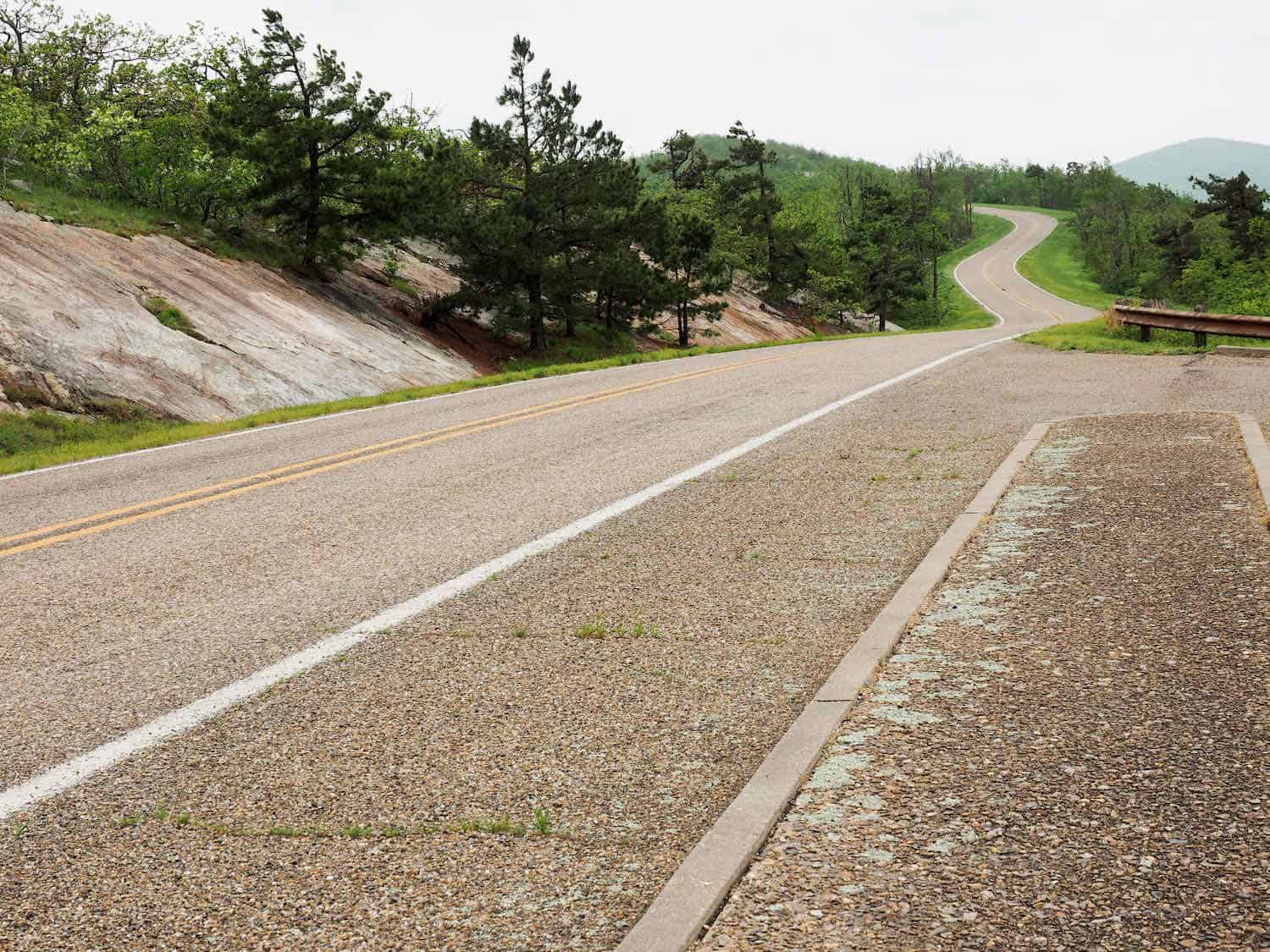
From Pine Ridge we continued westward to the town of Mena. Then we picked up the Talimena National Scenic Byway (website here) to the Queen Wilhelmina State Park.
We saw this state park (official website) on the map and wondered who Queen Wilhelmina was and what was she doing in Arkansas. The park is located on top of Rich Mountain, Arkansas’s second highest peak, which affords great views of the countryside below.
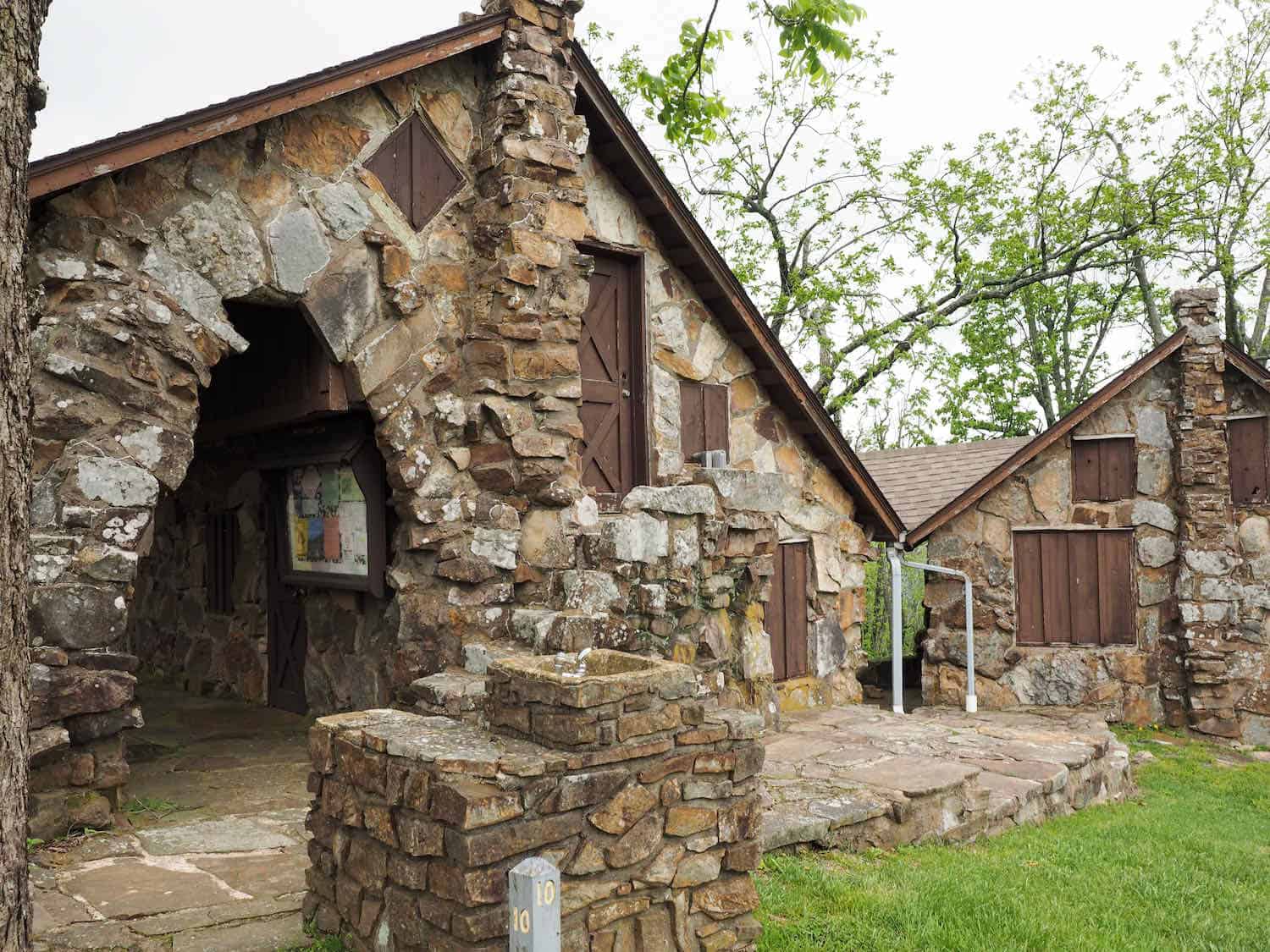
In the late 1800s a group of railroad investors chose the top of Rich Mountain as an ideal location for a lodge to cater to railroad traffic. Most of the investors were of Dutch heritage.
During the same period of time, Queen Wilhelmina was named queen of the Netherlands when she was only ten years old. Her youth and strength put the young queen in the spotlight, which attracted the attention of even Arkansas newspapers.
This original lodge was built as a Victorian resort named Wilhelmina Inn to honor the young queen. The lodge fell into disrepair a few years later. Another lodge was built. Another one burned. But the latest inn is the very nice 40-room park lodge.
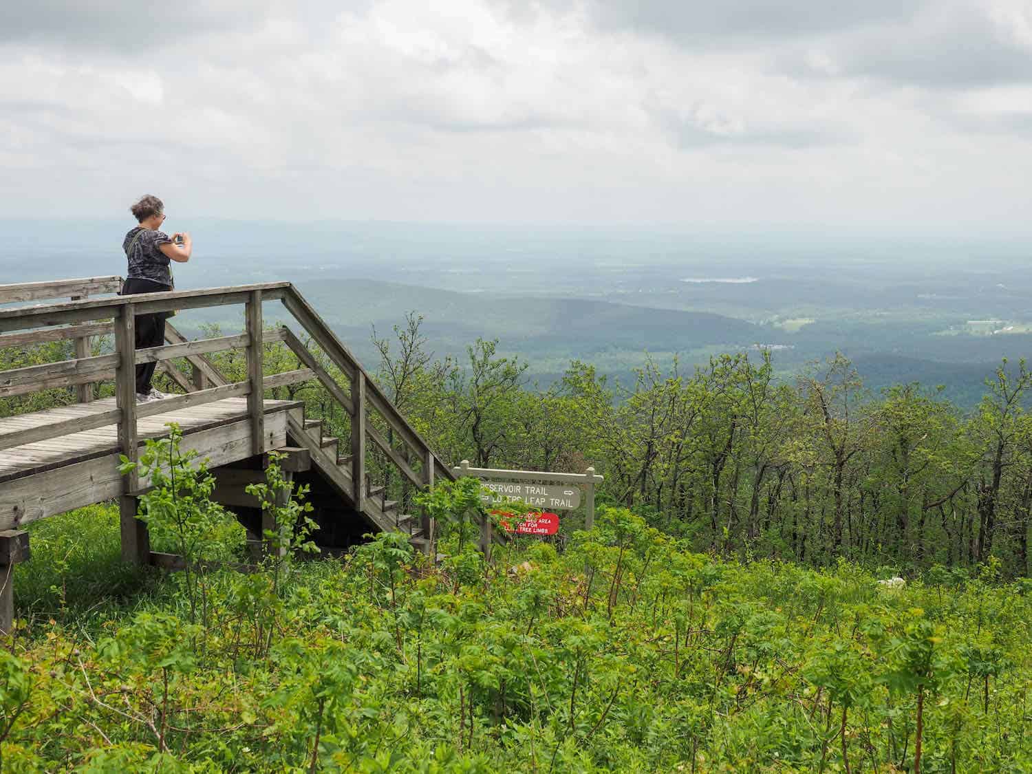
The park lodge has the Queen’s Restaurant. There is a campground at the park and several several trails of varying difficulty. We hiked the 1.3 mile moderate Lover’s Leap Trail that took us to an overlook on a high rock bluff with a nice view of the surrounding Ouachita National Forest.
Look for gems at Crater of Diamonds State Park
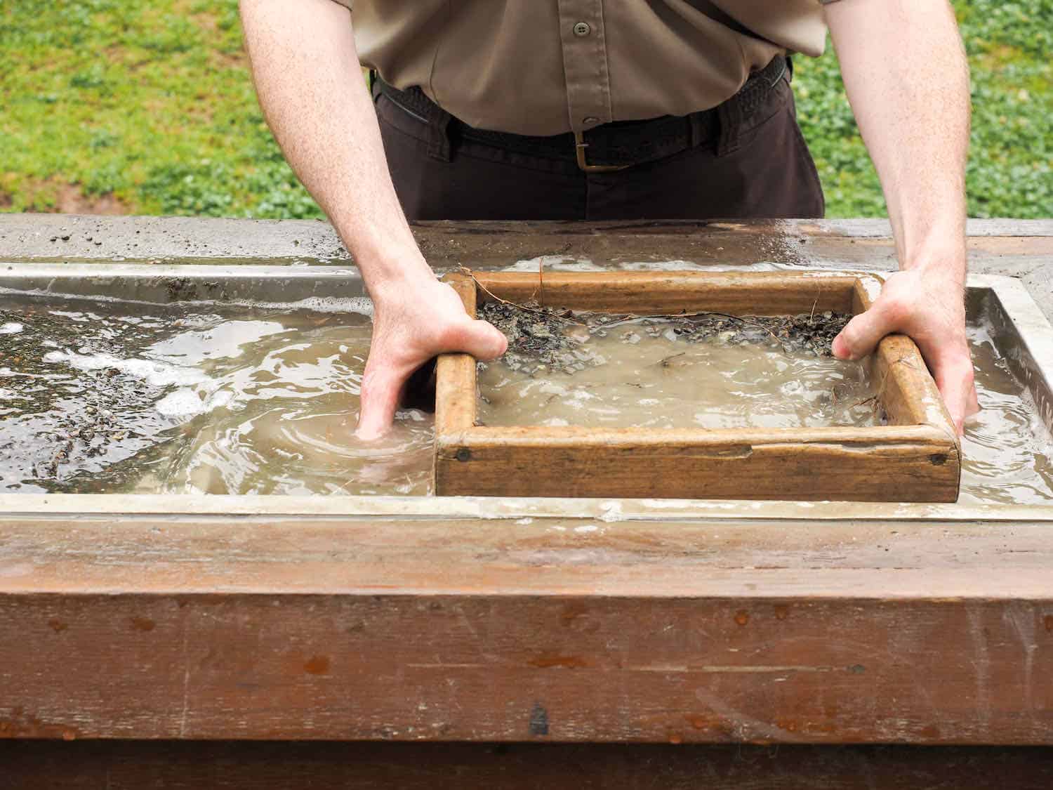
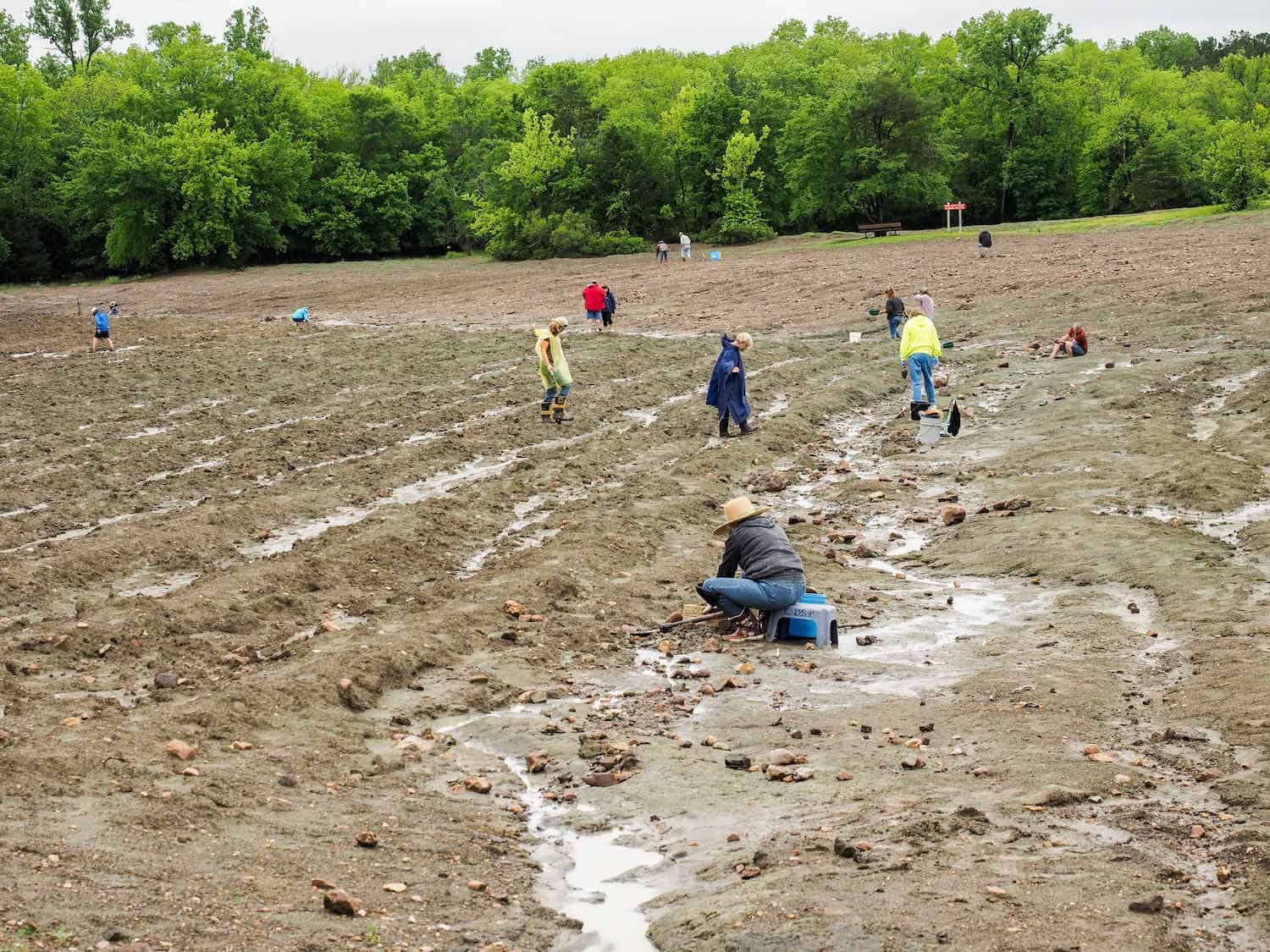
From Queen Wilhelmina State Park, we headed somewhat south and found the Crater of Diamonds State Park (website here). This is an unusual park in that it is one of a few places that a visitor can go, search for diamonds or other gems, and keep whatever he finds.
Crater of Diamonds State Park has a 37-acre field on the eroded surface of a volcanic crater. At the park’s visitor center, there are real uncut diamonds and exhibits that illustrate the park’s history and geology.
The park staff will show how to search for diamonds using various techniques. We were interested to find out that diamonds come in many colors but colors found at this park are white, brown, and yellow.
We did not find a diamond of any color, but it was fun looking. However the state park website maintains a list of the the latest finds, including carat weight.
Explore Historic Washington State Park
Our road trip in Southwest Arkansas continued by heading southward again. We drove along US 278 through Nashville and into Washington, where we discovered one of our favorite places of this entire trip.
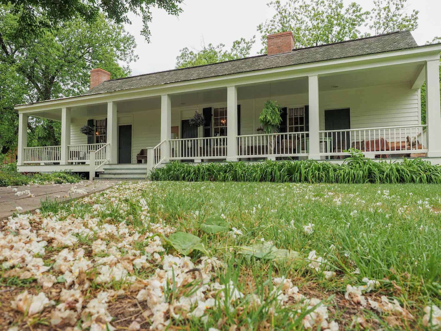
Historic Washington State Park is the large portion of the town of Washington and the state park shows the town of Washington from 1800-1900. It is a museum village filled with buildings of historic nature.
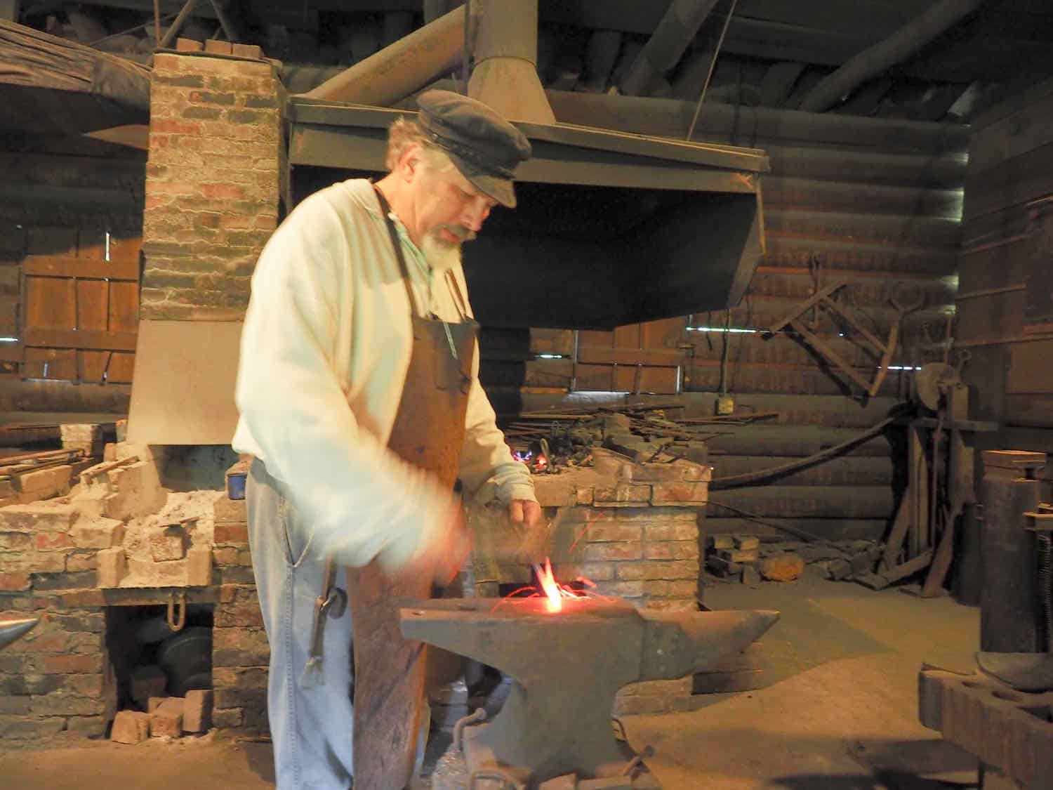
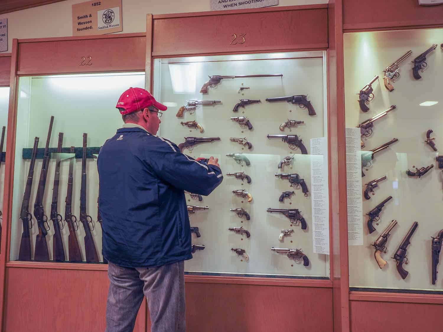
The 1874 Courthouse serves as the park visitor center. There is a blacksmith shop, weapons museum, print museum, a cotton gin, and other historic buildings that make up the largest collection of 19th-century buildings in the state.
The town was an important stop along the Southwest Trail (map). The park website (here) mentions that James Bowie, Sam Houston, and Davy Crockett traveled through Washington, AR. And a local blacksmith actually forged the legendary Bowie knife.
During the Civil War the town became the Confederate capital after the Union army captured Little Rock. The town’s main street, Franklin Street, or SR 195, is called by several names (The Southwest Trail or Old Military Road) and was a major thoroughfare for settlers en route to Texas during the 1820s and 1830s.
There is also a great restaurant in historic Washington. Williams Tavern Restaurant serves home cooking on Tuesdays through Sundays from 11 a.m.-3 p.m. Of course, we planned our visit so we could have lunch here.
Leaving Washington reluctantly, we passed through Hope, Arkansas, the birthplace of two of the state’s governors, Bill Clinton and Mike Huckabee. We continued along US 278 to Camden and then headed south to the town with the funny name, Smackover.
Discover Arkansas oil boom history in Smackover
Smackover is notable for a couple reasons. One is its odd name. The other is its history.
According to the history of Smackover, the area was settled by French trappers and hunters. Examples of the names given for rivers and landmarks were LaBeouf, Champagnolle, and Sumac Couvert.
Sumac Couvert meant “covered with a dense foliage called sumac.” Thus, Smackover was the result of “Sumac Couvert” being modified into a more English sounding name.
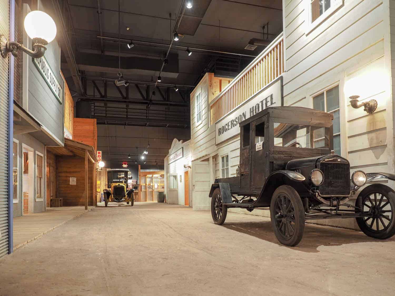
In 1922 one of the country’s largest oil reservoirs was discovered around Smackover, which turned into a boomtown and still holds a prominent place in the history of petroleum. Because of that, a museum is located in Smackover called the Arkansas Museum of Natural Resources. We visited the museum and found it very interesting.
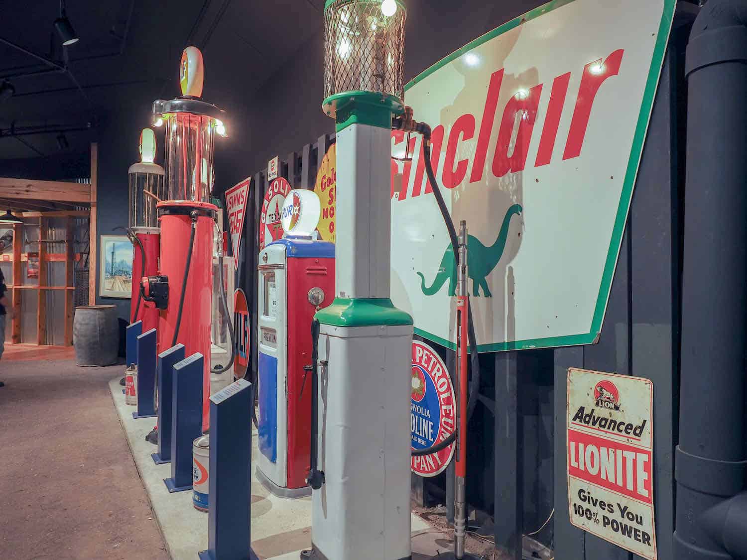
The museum tells the story of the oil boom in Arkansas. Inside is a replica of a boomtown with vintage trucks and gas pumps. There are exhibits on drilling for oil and various other displays related to the oil industry.
On the grounds outside the museum is a replica of an oil derrick and an associated power station. Admission to the museum is free which is a definite plus.
Eat lunch in El Dorado
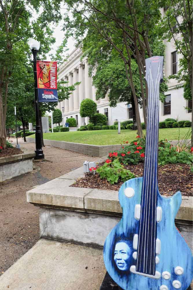
From Smackover we continued traveling south to the town of El Dorado. El Dorado means “the Golden One.”
Yellow gold was never discovered here, but “black gold” was. We discovered that the city was the heart of the 1920s oil boom in the area along with Smackover.
During World War II, El Dorado became a center for the chemical industry, which still plays an important part in the city’s economy, as do oil and timber. We stopped on the city square and had a good lunch at Fayrays, a neat restaurant, which is across from the Union County Courthouse.
End the Southwest Arkansas trip at Lake Village and Lake Chicot
After several days of doing the road trip through Southwest Arkansas, we decided it was time to head home. From El Dorado we headed east toward the town of Lake Village and Lake Chicot, another of our favorite places. Fishing and bird watching is great here.
Lake Chicot is a 20-mile long oxbow lake, which makes it the largest natural lake in Arkansas and the largest oxbow lake in North America. It is located near the Mississippi River and on one of the largest flyways in the country.
Hence, the excellent bird watching. It is a beautiful lake with state park cabins, campground, marina with boat rentals, and a park store.
On the southern part of Lake Chicot, we picked up US 82 and headed east across the Mississippi River Bridge at Greenville, Mississippi. We again found US 61 and headed north to Memphis.
We discovered several things while on our Southwest Arkansas road trip. Get off the interstate highways and travel the backroads of America. Investigate the small towns and unusual state parks.
But mostly, enjoy what there is special about America. And that is most everything.

